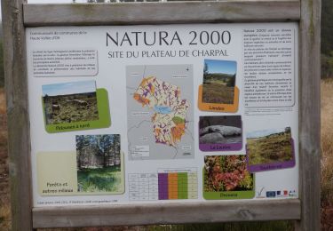
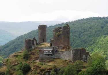
9 km | 10,2 km-effort
Charpal
tyntyn
Gebruiker
Lengte
17,6 km
Max. hoogte
1399 m
Positief hoogteverschil
304 m
Km-Effort
22 km
Min. hoogte
1207 m
Negatief hoogteverschil
313 m
Boucle
Ja
Datum van aanmaak :
2024-07-16 07:01:42.18
Laatste wijziging :
2024-07-16 13:13:10.025
5h11
Moeilijkheid : Gemakkelijk
Gratisgps-wandelapplicatie
Over ons
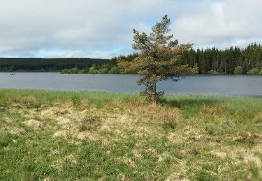
Tocht Stappen van 17,6 km beschikbaar op Occitanië, Lozère, Monts-de-Randon. Deze tocht wordt voorgesteld door tyntyn.
Plaatsbepaling
Land:
France
Regio :
Occitanië
Departement/Provincie :
Lozère
Gemeente :
Monts-de-Randon
Locatie:
Rieutort-de-Randon
Vertrek:(Dec)
Vertrek:(UTM)
544418 ; 4941207 (31T) N.
Opmerkingen
Wandeltochten in de omgeving
Le tour du lac de Charpal
Stappen
Heel gemakkelijk
(1)
Monts-de-Randon,
Occitanië,
Lozère,
France
2h 20min
Ja
LAC DE CHARPAL 39 km VTT Chateauneuf de Randon
Mountainbike
Medium
(1)
Monts-de-Randon,
Occitanië,
Lozère,
France
38 km | 49 km-effort
2h 36min
Ja
tour du lamc Charpal
Stappen
Gemakkelijk
(2)
Monts-de-Randon,
Occitanië,
Lozère,
France
9,4 km | 10,8 km-effort
3h 5min
Ja
Truc de Fortunio et lac de Charpal
Stappen
Medium
Monts-de-Randon,
Occitanië,
Lozère,
France
16,6 km | 22 km-effort
5h 48min
Ja
GTMC de Claire - 6
Mountainbike
Zeer moeilijk
Arzenc-de-Randon,
Occitanië,
Lozère,
France
58 km | 74 km-effort
4h 30min
Neen
Tour du lac de Charpal
Stappen
Medium
Monts-de-Randon,
Occitanië,
Lozère,
France
9,1 km | 10,5 km-effort
1h 59min
Ja
La Colagne
Vissen
Heel gemakkelijk
Monts-de-Randon,
Occitanië,
Lozère,
France
49 km | 56 km-effort
12min
Neen
Lozère eva-lior 2 jrs
Paardrijden
Heel gemakkelijk
Le Born,
Occitanië,
Lozère,
France
51 km | 66 km-effort
8h 50min
Neen
Boucle Le Giraldès
Mountainbike
Medium
Arzenc-de-Randon,
Occitanië,
Lozère,
France
40 km | 51 km-effort
4h 10min
Ja