


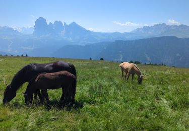
7,1 km | 9,4 km-effort


Gebruiker


Gratisgps-wandelapplicatie
 SityTrail
IGN / Geografische instituten
SityTrail World
De wereld gaat voor u open
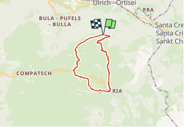
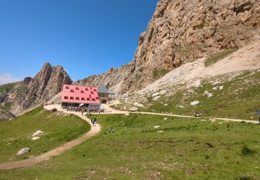
Tocht Te voet van 10,4 km beschikbaar op Trento-Zuid-Tirol, Bolzano - Bozen, Kastelruth - Castelrotto. Deze tocht wordt voorgesteld door suntajl.
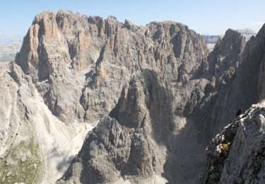
Sens horaire surtout pour une question de météo: vue sur le Sassolungo doit être dégagée pour la section nord de la balade. su la section nord, le chemin 6 semble ne plus être entretenu et remplacé par le 6A
Te voet
Te voet
Te voet
Te voet
Te voet
Te voet
Stappen
Stappen
Stappen