


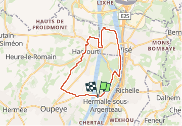


10,9 km | 12,6 km-effort

Par Mumu.larandonneuse


Gratisgps-wandelapplicatie
 SityTrail
IGN / Geografische instituten
SityTrail World
De wereld gaat voor u open
Tocht Stappen van 12,5 km beschikbaar op Wallonië, Luik, Oupeye. Deze tocht wordt voorgesteld door Je vous emmène sur mes chemins .
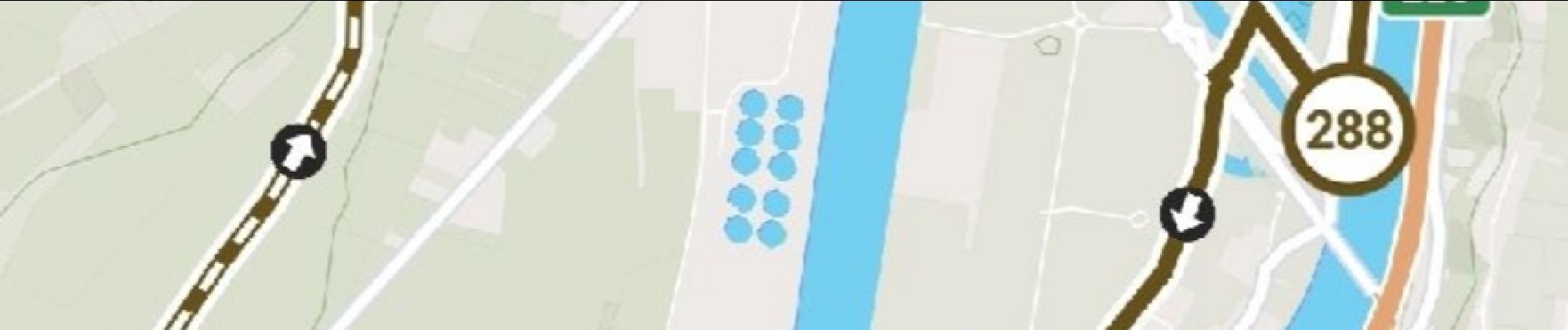
Un parcours créé sur l'app @NodeMapp Hike


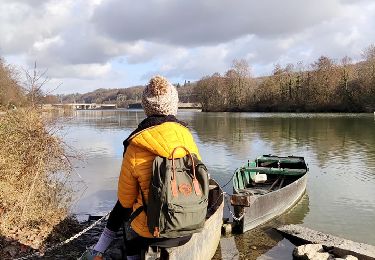
23 fotos in totaal. Klik op een foto om ze allemaal in de galerij weer te geven.

Stappen

Stappen

Stappen

Stappen

Stappen

Stappen
Stappen


Stappen