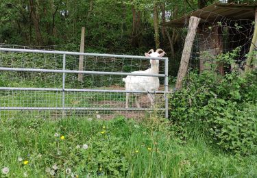
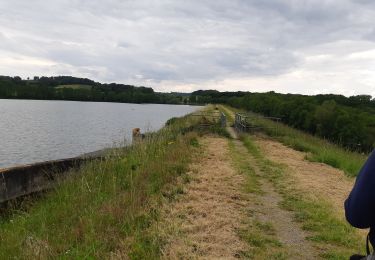
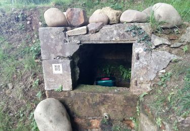
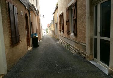
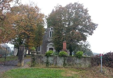
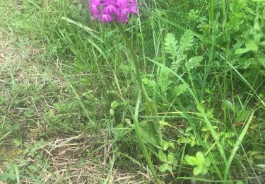
Tocht  Lembeye - Trace M2 Lembeye Guy - Photo
 mitch1952
mitch1952

Gebruiker

© OpenStreetMap contributors
Lengte
Lengte
8,7 km
Max. hoogte
Max. hoogte
320 m
Positief hoogteverschil
150 m
Km-Effort
Km-Effort  
10,7 km
Min. hoogte
Min. hoogte
186 m
Negatief hoogteverschil
149 m
Boucle
Boucle
Ja
Datum van aanmaak :
2024-07-03 06:22:10.0
Laatste wijziging :
2024-07-03 08:51:42.943

(0 Bericht)


Scan deze QR-code om de tocht te openen in de SityTrail-applicatie

Gratisgps-wandelapplicatie

Logo SityTrail SityTrail

IGN / Geografische instituten

SityTrail uit de App Store downloaden SityTrail uit Google Play downloaden

Logo SityTrail SityTrail World

De wereld gaat voor u open

SityTrail uit de App Store downloaden SityTrail uit Google Play downloaden SityTrail op Huawei AppGallery downloaden

Over ons

Tocht van 8,7 km beschikbaar op Nieuw-Aquitanië, Pyrénées-Atlantiques, Lembeye. Deze tocht wordt voorgesteld door mitch1952.

Hoogteprofiel

Plaatsbepaling

Land:
France
Regio :
Nieuw-Aquitanië
Departement/Provincie :
Pyrénées-Atlantiques
Gemeente :
Lembeye
Locatie:
Unknown
Vertrek:(Dec)
Vertrek:(UTM)
733692 ; 4814747 (30T) N.

Wandeltochten in de omgeving

Tocht Stappen Lembeye - LEMBEYE Labelisation le chemin de la ligne
Stappen
GUIDE
marmotte65

Stappen

Medium
Lembeye, Nieuw-Aquitanië, Pyrénées-Atlantiques, France
7 km | 8,8 km-effort
1h 59min
Ja
Tocht Stappen Bassillon-Vauzé - BASSILLON VAUZE G4
Stappen
GUIDE
marmotte65

Stappen

Moeilijk
Bassillon-Vauzé, Nieuw-Aquitanië, Pyrénées-Atlantiques, France
10,6 km | 12,8 km-effort
3h 18min
Ja
Tocht Stappen Lembeye - LEMBEYE  Terra aventura  - Photo
Stappen
GUIDE
marmotte65

Stappen

Gemakkelijk
Lembeye, Nieuw-Aquitanië, Pyrénées-Atlantiques, France
3,1 km | 3,6 km-effort
47min
Ja
Tocht Stappen Lembeye - LEMBEYE La ligne M2 - Photo
Stappen
GUIDE
marmotte65

Stappen

Gemakkelijk
Lembeye, Nieuw-Aquitanië, Pyrénées-Atlantiques, France
6,8 km | 8,6 km-effort
1h 40min
Ja
Tocht Stappen Bentayou-Sérée - LUCARE / ABERRE GR653A premier tronçon du secteur A 2801487 - Photo
Stappen
GUIDE
marmotte65

Stappen

Moeilijk
Bentayou-Sérée, Nieuw-Aquitanië, Pyrénées-Atlantiques, France
11,7 km | 15,2 km-effort
3h 8min
Neen
Tocht Stappen Moncaup - MONCAUP-Circuit vert des fontaines - Photo
Stappen
Polo-31

Stappen

Heel gemakkelijk
Moncaup, Nieuw-Aquitanië, Pyrénées-Atlantiques, France
9,9 km | 13 km-effort
2h 47min
Ja
Tocht Stappen Lespielle - Entre moulin et orchidées - Photo
Stappen
Jilot64

Stappen

Medium
Lespielle, Nieuw-Aquitanië, Pyrénées-Atlantiques, France
10 km | 12,4 km-effort
2h 29min
Ja
Tocht Te voet Moncaup - 2020-08-15_19h39m22_Cirkwi-Le_sentier_des_fontaines (1) - Photo
Te voet
GUIDE
marmotte65

Te voet

Gemakkelijk
Moncaup, Nieuw-Aquitanië, Pyrénées-Atlantiques, France
13,4 km | 17,6 km-effort
Onbekend
Ja
Tocht Stappen Moncaup - MONCAUP  chemin des fontaines M1-fait - Photo
Stappen
GUIDE
marmotte65

Stappen

Gemakkelijk
Moncaup, Nieuw-Aquitanië, Pyrénées-Atlantiques, France
9,7 km | 12,3 km-effort
2h 41min
Ja


Sluiten
Mijn abonnementen