


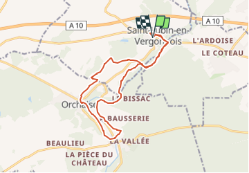

15 km | 18,4 km-effort


Gebruiker


Gratisgps-wandelapplicatie
 SityTrail
IGN / Geografische instituten
SityTrail World
De wereld gaat voor u open
Tocht Stappen van 15,1 km beschikbaar op Centre-Val de Loire, Loir-et-Cher, Saint-Lubin-en-Vergonnois. Deze tocht wordt voorgesteld door marionneau.

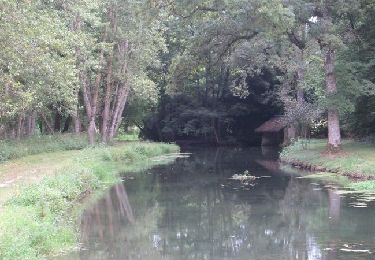
Stappen

Stappen

Stappen

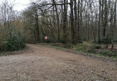
Stappen

Stappen

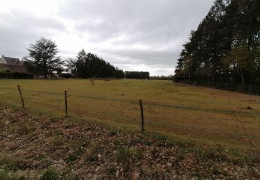
Stappen
Stappen
Stappen
Stappen