


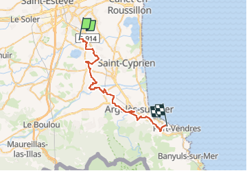

33 km | 40 km-effort


Gebruiker


Gratisgps-wandelapplicatie
 SityTrail
IGN / Geografische instituten
SityTrail World
De wereld gaat voor u open
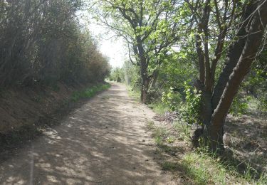
Tocht Quad van 39 km beschikbaar op Occitanië, Pyrénées-Orientales, Villeneuve-de-la-Raho. Deze tocht wordt voorgesteld door Quad Ride.
Parcours de 1h40 de moyenne a allure normal.
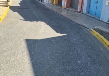
 - Photo 1")
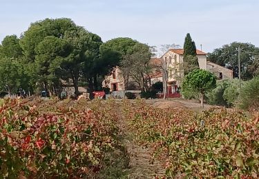
 - Photo 2")
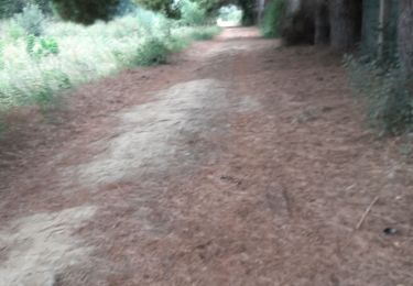
 - Photo 3")
 - Photo 4")
 - Photo 5")
 - Photo 6")
 - Photo 7")
 - Photo 8")
 - Photo 9")
 - Photo 10")
 - Photo 11")
 - Photo 12")
 - Photo 13")
Quad

Stappen

Stappen

Stappen

Stappen
Stappen
Stappen
Stappen
Stappen