


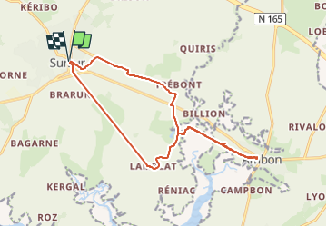

8,6 km | 9,6 km-effort

Gebruiker


Gratisgps-wandelapplicatie
 SityTrail
IGN / Geografische instituten
SityTrail World
De wereld gaat voor u open
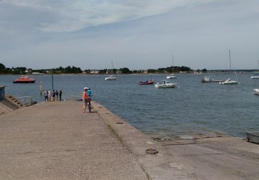
Tocht Elektrische fiets van 16 km beschikbaar op Bretagne, Morbihan, Surzur. Deze tocht wordt voorgesteld door EricVIBERT.
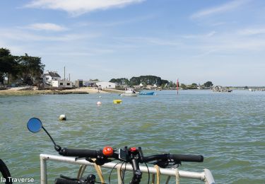
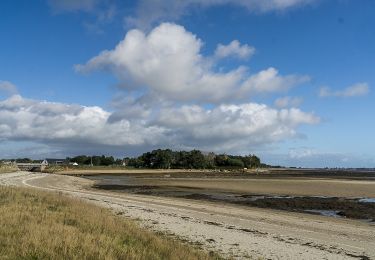
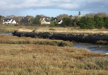
Voie verte suivant le GR34 entre Surzur et Ambon.
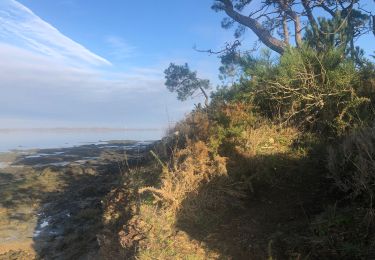
Passage difficile au niveau du pont de fer (piste défoncée)
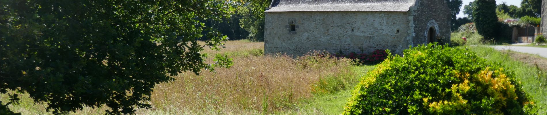
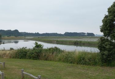
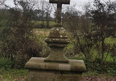
retour par les chapelles de Tremoyec et St Hélène.
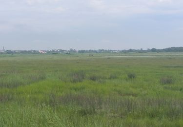
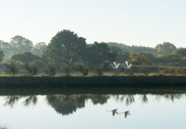
Belles vues sur les étiers.


Stappen
Fietstoerisme
Fietstoerisme
Stappen
Fietstoerisme
Hybride fiets
Stappen
Hybride fiets
Stappen