


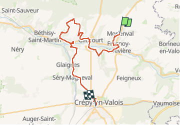

9,7 km | 11,5 km-effort

Gebruiker GUIDE


Gratisgps-wandelapplicatie
 SityTrail
IGN / Geografische instituten
SityTrail World
De wereld gaat voor u open
Tocht Te voet van 28 km beschikbaar op Hauts-de-France, Oise, Morienval. Deze tocht wordt voorgesteld door chessyca.
JJL pour le Rif
Ter direction Laon 8h 33 à Gare du Nord
Descendre à Crepy en valois puis bus 657 de 9 h44 . Il y a un petit troquet bien sympa à deux pas de la gare pour attendre le bus.
Descendre à Morienval.
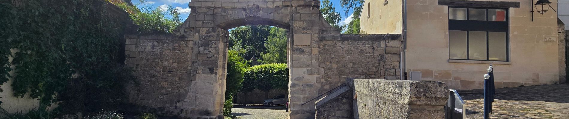
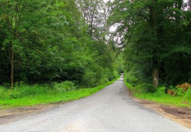
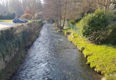
Parcours très intéressant : Outre la très jolie vallée de l'Automne, de charmants villages tels que Bethancourt, le site gallo romain de Champlieu ou ses vestiges d'Abbaye. Pour finir, la visite de Crepy en Valois s'impose


Stappen
Stappen
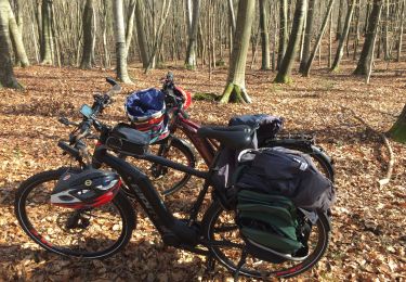
Hybride fiets
Stappen

Stappen

Mountainbike

Stappen

Te voet
Stappen