


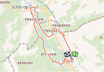

11,5 km | 13,3 km-effort


Gebruiker GUIDE


Gratisgps-wandelapplicatie
 SityTrail
IGN / Geografische instituten
SityTrail World
De wereld gaat voor u open
Tocht Stappen van 8,6 km beschikbaar op Limburg, Onbekend, Gulpen-Wittem. Deze tocht wordt voorgesteld door mumu.larandonneuse.
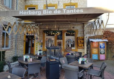
🇳🇱 Une belle balade dans la vallée de la Gueule de Wijlre à Schin op Geul en passant par le hameau de Stokhem.
📌 & 🅿️ Van Wachtendonckpkein à Wijlre.


Stappen

Stappen
Stappen
Stappen

Stappen

Stappen
Stappen

Stappen
Stappen