


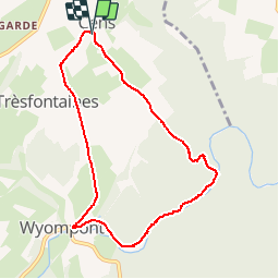

10,4 km | 13,5 km-effort

Gebruiker


Gratisgps-wandelapplicatie
 SityTrail
IGN / Geografische instituten
SityTrail World
De wereld gaat voor u open
Tocht Stappen van 7,5 km beschikbaar op Wallonië, Luxemburg, Tenneville. Deze tocht wordt voorgesteld door Januitcielle.
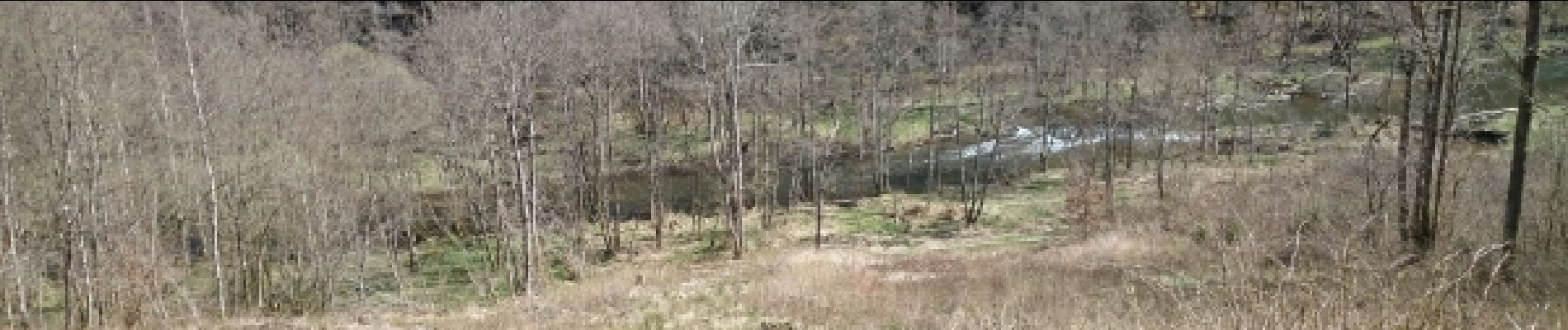
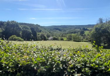
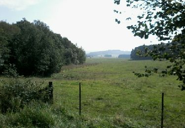
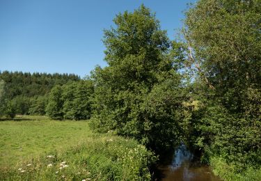
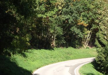
Beaucoup de vues panoramiques, un très beau trajet le long de l'Ourthe. Attention un très forte montée pour quitter l'Ourthe.


Stappen
Stappen
Stappen
Stappen
Stappen
Stappen
Te voet
Te voet
Te voet
verrassend avontuurlijk!