


11,1 km | 13,8 km-effort

Gebruiker


Gratisgps-wandelapplicatie
 SityTrail
IGN / Geografische instituten
SityTrail World
De wereld gaat voor u open
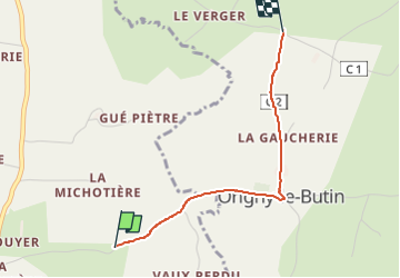
Tocht Stappen van 2,1 km beschikbaar op Normandië, Orne, Chemilli. Deze tocht wordt voorgesteld door Krissray.


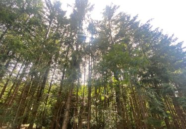
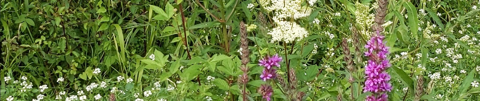
Stappen
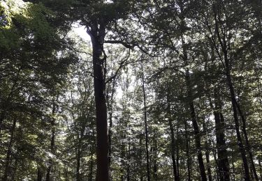
Stappen
Stappen
Stappen
Stappen
Stappen

Stappen
Stappen
Stappen