12,9 km | 22 km-effort
[Itinéraire] Vallée du Luech
paull
Gebruiker
Lengte
3,2 km
Max. hoogte
281 m
Positief hoogteverschil
72 m
Km-Effort
4,2 km
Min. hoogte
243 m
Negatief hoogteverschil
72 m
Boucle
Ja
Datum van aanmaak :
2024-06-18 16:18:55.534
Laatste wijziging :
2024-06-18 17:19:24.014
57m
Moeilijkheid : Gemakkelijk
Gratisgps-wandelapplicatie
Over ons
Tocht Stappen van 3,2 km beschikbaar op Occitanië, Gard, Chambon. Deze tocht wordt voorgesteld door paull.
Beschrijving
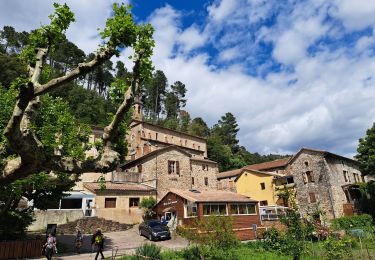
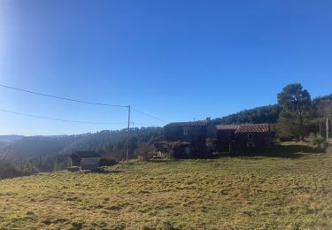
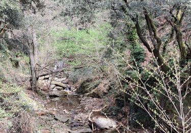
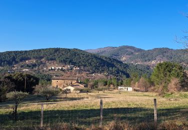
Vallée du Luech version courte pour l'été.
Le chambon Chareneuve .
Aller & retour .
Plaatsbepaling
Land:
France
Regio :
Occitanië
Departement/Provincie :
Gard
Gemeente :
Chambon
Locatie:
Unknown
Vertrek:(Dec)
Vertrek:(UTM)
581242 ; 4905958 (31T) N.
Opmerkingen
Wandeltochten in de omgeving
du Luech à l'Homol
Stappen
Moeilijk
Chambon,
Occitanië,
Gard,
France
15,8 km | 26 km-effort
5h 47min
Ja
Vallée de l'Homol
Stappen
Moeilijk
(2)
Génolhac,
Occitanië,
Gard,
France
16 km | 24 km-effort
5h 5min
Ja
sentier du Quinsonnet
Stappen
Medium
Sénéchas,
Occitanië,
Gard,
France
10,9 km | 17 km-effort
3h 21min
Ja
Ronde des crêtes
Stappen
Medium
Chamborigaud,
Occitanië,
Gard,
France
21 km | 30 km-effort
5h 39min
Ja
Portes à Ste Cécile
Stappen
Medium
Portes,
Occitanië,
Gard,
France
18,1 km | 25 km-effort
5h 25min
Neen
Portes Sainte Cecile d ´Andorge
Stappen
Zeer moeilijk
Portes,
Occitanië,
Gard,
France
19,6 km | 26 km-effort
5h 34min
Ja
Les crêtes d'Aujac
Stappen
Zeer moeilijk
(1)
Bordezac,
Occitanië,
Gard,
France
22 km | 33 km-effort
6h 17min
Ja