Tocht Te voet Beaumont-du-Gâtinais - Beaumont-du-Gâtinais - Auxy - Sceaux-du-Gâtinais - Photo

Beaumont-du-Gâtinais - Auxy - Sceaux-du-Gâtinais

 mathis01
mathis01

Gebruiker

© OpenStreetMap contributors
Lengte
Lengte
28 km
Max. hoogte
Max. hoogte
110 m
Positief hoogteverschil
120 m
Km-Effort
Km-Effort  
29 km
Min. hoogte
Min. hoogte
76 m
Negatief hoogteverschil
120 m
Boucle
Boucle
Ja
Datum van aanmaak :
2024-06-17 08:40:08.502
Laatste wijziging :
2024-06-17 09:16:24.16

(0 Bericht)

Te voet
Te voet
6h42
Moeilijkheid : Medium

Scan deze QR-code om de tocht te openen in de SityTrail-applicatie

Gratisgps-wandelapplicatie

Logo SityTrail SityTrail

IGN / Geografische instituten

SityTrail uit de App Store downloaden SityTrail uit Google Play downloaden

Logo SityTrail SityTrail World

De wereld gaat voor u open

SityTrail uit de App Store downloaden SityTrail uit Google Play downloaden SityTrail op Huawei AppGallery downloaden

Over ons

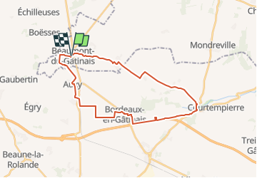
Tocht Te voet van 28 km beschikbaar op Île-de-France, Seine-et-Marne, Beaumont-du-Gâtinais. Deze tocht wordt voorgesteld door mathis01.

Hoogteprofiel

Plaatsbepaling

Land:
France
Regio :
Île-de-France
Departement/Provincie :
Seine-et-Marne
Gemeente :
Beaumont-du-Gâtinais
Locatie:
Unknown
Vertrek:(UTM)
460937 ; 5331615 (31U) N.

Wandeltochten in de omgeving

Tocht Te voet Beaumont-du-Gâtinais - Beaumont-du-Gâtinais - Sceaux-du-Gâtinais - Gironville - Photo
Te voet
mathis01

Te voet

Moeilijk
Beaumont-du-Gâtinais, Île-de-France, Seine-et-Marne, France
34 km | 36 km-effort
8h 4min
Ja
Tocht Stappen Boësses - Beaumont45 - Photo
Stappen
yo91

Stappen

Boësses, Centre-Val de Loire, Loiret, France
29 km | 32 km-effort
2h 57min
Neen
Tocht Te voet Beaumont-du-Gâtinais - Beaumont du Gâtinais - Photo
Te voet
alainchachignon

Te voet

Gemakkelijk
Beaumont-du-Gâtinais, Île-de-France, Seine-et-Marne, France
10,8 km | 11,8 km-effort
Onbekend
Neen


Sluiten
Mijn abonnementen