


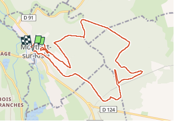


9,9 km | 11,7 km-effort

Gebruiker


Gratisgps-wandelapplicatie
 SityTrail
IGN / Geografische instituten
SityTrail World
De wereld gaat voor u open
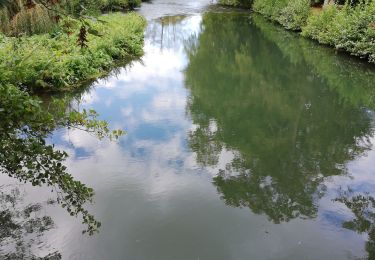
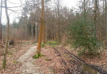
Tocht Stappen van 12,4 km beschikbaar op Normandië, Eure, Saint-Philbert-sur-Risle. Deze tocht wordt voorgesteld door doudet.
Boucle A-R au Départ du Parking centre ville

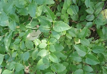
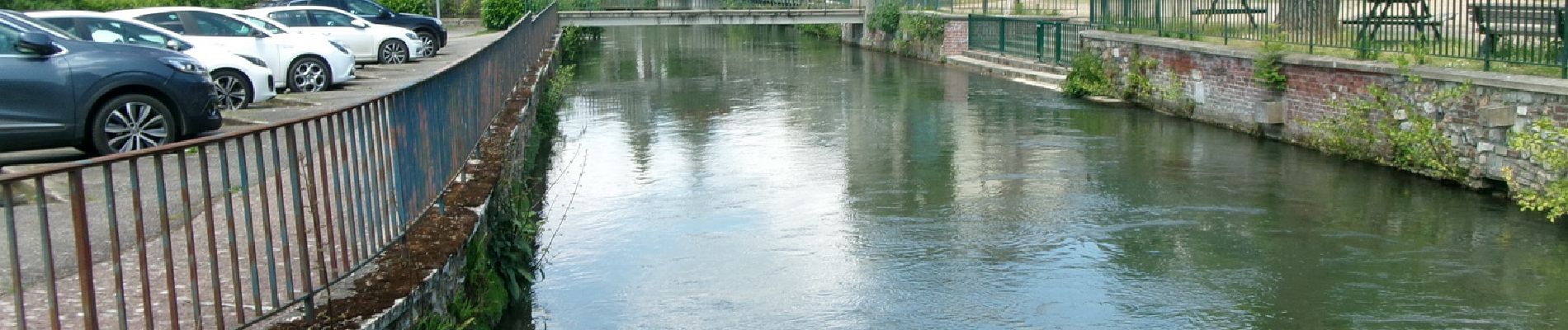
Stappen

Stappen
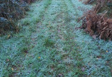
Stappen

Stappen
Stappen
Stappen

Stappen
Stappen

Stappen