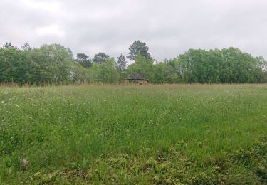
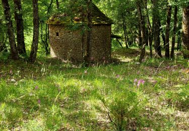
32 km | 41 km-effort
Trott Maziere
cps46
Gebruiker
Lengte
7,2 km
Max. hoogte
265 m
Positief hoogteverschil
202 m
Km-Effort
9,8 km
Min. hoogte
144 m
Negatief hoogteverschil
200 m
Boucle
Ja
Datum van aanmaak :
2024-06-06 14:29:05.0
Laatste wijziging :
2024-06-06 14:55:52.787
Gratisgps-wandelapplicatie
Over ons
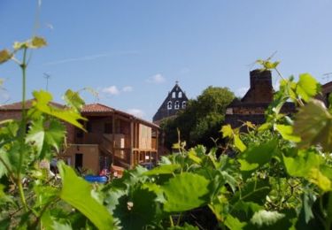
Tocht van 7,2 km beschikbaar op Occitanië, Lot, Montcabrier. Deze tocht wordt voorgesteld door cps46.
Plaatsbepaling
Land:
France
Regio :
Occitanië
Departement/Provincie :
Lot
Gemeente :
Montcabrier
Locatie:
Unknown
Vertrek:(Dec)
Vertrek:(UTM)
349428 ; 4933956 (31T) N.
Opmerkingen
Wandeltochten in de omgeving
Boucle VTT à Saint Martin le Redon
Mountainbike
Medium
Saint-Martin-le-Redon,
Occitanië,
Lot,
France
2h 49min
Ja
circuit falaises montcabrier
Stappen
Medium
Montcabrier,
Occitanië,
Lot,
France
5,3 km | 7,7 km-effort
2h 44min
Neen
cabrimontaise 2023
Stappen
Moeilijk
Montcabrier,
Occitanië,
Lot,
France
8,9 km | 12,2 km-effort
2h 46min
Ja
Frayssinet
Stappen
Moeilijk
Frayssinet-le-Gélat,
Occitanië,
Lot,
France
8,9 km | 12 km-effort
2h 15min
Ja
martignac à puy l évêque
Stappen
Gemakkelijk
,
Occitanië,
Lot,
France
16,1 km | 22 km-effort
4h 45min
Ja
montcabrier
Mountainbike
Moeilijk
Montcabrier,
Occitanië,
Lot,
France
27 km | 35 km-effort
2h 26min
Ja
Compostelle 9 GR652
Stappen
Gemakkelijk
Frayssinet-le-Gélat,
Occitanië,
Lot,
France
158 km | 210 km-effort
Onbekend
Neen