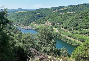
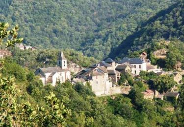
18,2 km | 24 km-effort
brousse le château
tosan
Gebruiker
Lengte
19,8 km
Max. hoogte
527 m
Positief hoogteverschil
616 m
Km-Effort
28 km
Min. hoogte
245 m
Negatief hoogteverschil
647 m
Boucle
Neen
Datum van aanmaak :
2024-06-05 04:33:08.245
Laatste wijziging :
2024-06-05 13:38:22.578
9h04
Moeilijkheid : Zeer moeilijk
Gratisgps-wandelapplicatie
Over ons
Tocht Stappen van 19,8 km beschikbaar op Occitanië, Aveyron, Le Truel. Deze tocht wordt voorgesteld door tosan.
Plaatsbepaling
Land:
France
Regio :
Occitanië
Departement/Provincie :
Aveyron
Gemeente :
Le Truel
Locatie:
Unknown
Vertrek:(Dec)
Vertrek:(UTM)
481058 ; 4877404 (31T) N.
Opmerkingen
Wandeltochten in de omgeving
J11: Ayssènes-Brousse le Château-190522
Stappen
Medium
,
Occitanië,
Aveyron,
France
23 km | 33 km-effort
7h 29min
Neen
Villefranche de Panat à Salles Curan
Stappen
Zeer moeilijk
Villefranche-de-Panat,
Occitanië,
Aveyron,
France
24 km | 31 km-effort
4h 53min
Neen
Le chemin des Raspes - Ayssènes
Stappen
Moeilijk
,
Occitanië,
Aveyron,
France
14,1 km | 23 km-effort
4h 30min
Ja
la Sabaterie reco
Stappen
Moeilijk
Le Truel,
Occitanië,
Aveyron,
France
11,5 km | 15,7 km-effort
4h 51min
Ja
randonnée Villefranche de panat
Stappen
Moeilijk
Villefranche-de-Panat,
Occitanië,
Aveyron,
France
10,2 km | 12,7 km-effort
3h 10min
Ja
de truel au viala du tarn in live
Stappen
Moeilijk
Le Truel,
Occitanië,
Aveyron,
France
21 km | 32 km-effort
5h 7min
Neen
rando du bosq le truel
Stappen
Medium
Saint-Victor-et-Melvieu,
Occitanië,
Aveyron,
France
8,3 km | 12,2 km-effort
2h 41min
Ja