

Circuit entre Terre et Eaux

corsinou
Gebruiker

Lengte
12,7 km

Max. hoogte
101 m

Positief hoogteverschil
187 m

Km-Effort
15,2 km

Min. hoogte
37 m

Negatief hoogteverschil
189 m
Boucle
Ja
Datum van aanmaak :
2015-07-30 00:00:00.0
Laatste wijziging :
2015-07-30 00:00:00.0
3h32
Moeilijkheid : Gemakkelijk

Gratisgps-wandelapplicatie
Over ons
Tocht Stappen van 12,7 km beschikbaar op Hauts-de-France, Somme, Cappy. Deze tocht wordt voorgesteld door corsinou.
Beschrijving
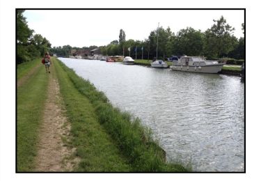
Circuit au départ du cimetière de Cappy, empruntant le chenal de la somme, puis le bois de St Holaire, afin de rejoindre Suzanne et Eclusier Vaux par le bois de Fauvel pour enfin rejoindre Cappy par la Vallée de Péronne
Plaatsbepaling
Land:
France
Regio :
Hauts-de-France
Departement/Provincie :
Somme
Gemeente :
Cappy
Locatie:
Unknown
Vertrek:(Dec)
Vertrek:(UTM)
482673 ; 5531239 (31U) N.
Opmerkingen
Wandeltochten in de omgeving
Les Marais de Suzanne - Cappy


Stappen
Medium
(1)
Cappy,
Hauts-de-France,
Somme,
France

11,2 km | 13,2 km-effort
2h 45min
Ja
La Montagne de Frise


Stappen
Medium
(1)
Frise,
Hauts-de-France,
Somme,
France

2,2 km | 2,8 km-effort
49min
Ja
Les Royards


Te voet
Gemakkelijk
Cappy,
Hauts-de-France,
Somme,
France

8,9 km | 10,4 km-effort
2h 22min
Ja
tour des étangs de curlu


Stappen
Heel gemakkelijk
Curlu,
Hauts-de-France,
Somme,
France

10,5 km | 11,6 km-effort
2h 41min
Ja
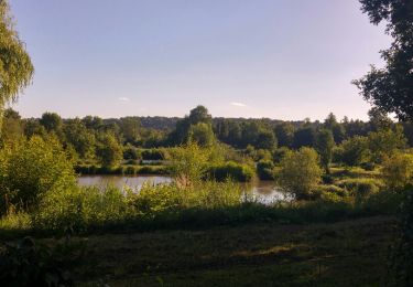
Autour des étangs de Curlu et Feuillères


Stappen
Gemakkelijk
(1)
Curlu,
Hauts-de-France,
Somme,
France

11,6 km | 12,7 km-effort
3h 11min
Ja
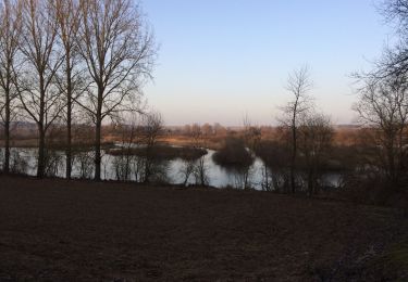
Vaux - Marais de la Somme


Andere activiteiten
Heel gemakkelijk
Éclusier-Vaux,
Hauts-de-France,
Somme,
France

8,7 km | 10,1 km-effort
2h 13min
Ja
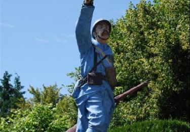
Les Champs Muraine - Cappy


Stappen
Medium
Cappy,
Hauts-de-France,
Somme,
France

9,9 km | 11,9 km-effort
2h 15min
Ja

montagne de frise


Stappen
Medium
(1)
Frise,
Hauts-de-France,
Somme,
France

2 km | 2,5 km-effort
1h 0min
Ja
Le chemin des Automitrailleuses - Curlu


Stappen
Medium
(1)
Curlu,
Hauts-de-France,
Somme,
France

11 km | 12 km-effort
3h 19min
Ja


 SityTrail


