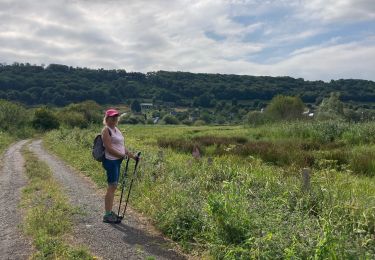
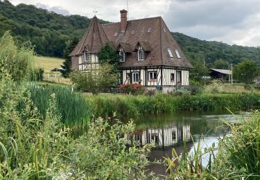
10,8 km | 13,8 km-effort
Boucle de Bouquelon V2
mlry
Gebruiker
Lengte
9,4 km
Max. hoogte
119 m
Positief hoogteverschil
151 m
Km-Effort
11,4 km
Min. hoogte
2 m
Negatief hoogteverschil
151 m
Boucle
Ja
Datum van aanmaak :
2024-05-30 07:01:50.852
Laatste wijziging :
2024-05-30 13:28:16.732
2h35
Moeilijkheid : Medium
Gratisgps-wandelapplicatie
Over ons
Tocht Stappen van 9,4 km beschikbaar op Normandië, Eure, Bouquelon. Deze tocht wordt voorgesteld door mlry.
Plaatsbepaling
Land:
France
Regio :
Normandië
Departement/Provincie :
Eure
Gemeente :
Bouquelon
Locatie:
Unknown
Vertrek:(Dec)
Vertrek:(UTM)
316854 ; 5474727 (31U) N.
Opmerkingen
Wandeltochten in de omgeving
2022-04-08_19h09m39_SityTrail - 3194311 - 20220409xmarais-vernier-10km
Stappen
Moeilijk
(1)
Marais-Vernier,
Normandië,
Eure,
France
3h 7min
Ja
Chemin pédestre de l'Allée des Granges
Te voet
Gemakkelijk
Sainte-Opportune-la-Mare,
Normandië,
Eure,
France
6,4 km | 8,1 km-effort
1h 49min
Ja
Boucle de Bouquelon V2 variante
Stappen
Medium
(1)
Bouquelon,
Normandië,
Eure,
France
9,1 km | 11,1 km-effort
2h 31min
Ja
Boucle de Bouquelon V1
Stappen
Moeilijk
(1)
Bouquelon,
Normandië,
Eure,
France
13,3 km | 16,6 km-effort
3h 46min
Ja
20220409-marais vernier
Stappen
Moeilijk
Marais-Vernier,
Normandië,
Eure,
France
10,8 km | 13,8 km-effort
2h 58min
Ja
marais vernier
Stappen
Gemakkelijk
(1)
Marais-Vernier,
Normandië,
Eure,
France
11 km | 13,6 km-effort
3h 1min
Ja
La Roque
Stappen
Heel gemakkelijk
Saint-Samson-de-la-Roque,
Normandië,
Eure,
France
14,9 km | 17,7 km-effort
3h 25min
Neen
Sentier découverte du marais vernier
Stappen
Gemakkelijk
Marais-Vernier,
Normandië,
Eure,
France
5,4 km | 5,7 km-effort
1h 39min
Ja
La Route des chaumières
Stappen
Medium
Bouquelon,
Normandië,
Eure,
France
9,3 km | 11,4 km-effort
2h 58min
Ja