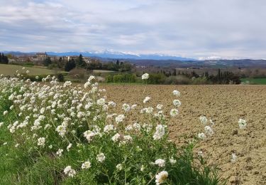
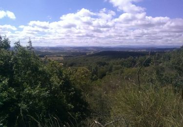
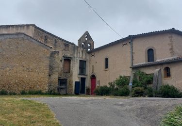
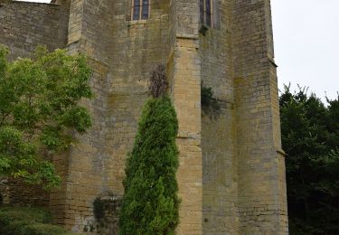
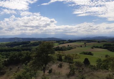
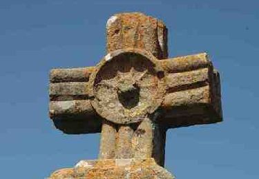
Tocht Stappen Fanjeaux - LES BRUGUES ROUMENGOUX - Photo

LES BRUGUES ROUMENGOUX

 jl_chocho
jl_chocho

Gebruiker

© OpenStreetMap contributors
Lengte
Lengte
18,7 km
Max. hoogte
Max. hoogte
454 m
Positief hoogteverschil
376 m
Km-Effort
Km-Effort  
24 km
Min. hoogte
Min. hoogte
314 m
Negatief hoogteverschil
352 m
Boucle
Boucle
Neen
Datum van aanmaak :
2015-04-11 00:00:00.0
Laatste wijziging :
2015-04-11 00:00:00.0

(0 Bericht)

Stappen
Stappen
5h03
Moeilijkheid : Medium

Scan deze QR-code om de tocht te openen in de SityTrail-applicatie

Gratisgps-wandelapplicatie

Logo SityTrail SityTrail

IGN / Geografische instituten

SityTrail uit de App Store downloaden SityTrail uit Google Play downloaden

Logo SityTrail SityTrail World

De wereld gaat voor u open

SityTrail uit de App Store downloaden SityTrail uit Google Play downloaden SityTrail op Huawei AppGallery downloaden

Over ons

Tocht Stappen van 18,7 km beschikbaar op Occitanië, Aude, Fanjeaux. Deze tocht wordt voorgesteld door jl_chocho.

Beschrijving

Étape 3 : Les Brugues (Mirepoix) Roumengoux

Hoogteprofiel

Plaatsbepaling

Land:
France
Regio :
Occitanië
Departement/Provincie :
Aude
Gemeente :
Fanjeaux
Locatie:
Unknown
Vertrek:(Dec)
Vertrek:(UTM)
421785 ; 4779673 (31T) N.

Wandeltochten in de omgeving

Tocht Stappen Lasserre-de-Prouille - Lasserre de prouilhe 17 kms - Photo
Stappen
cappelle

Stappen

Medium
(1)
Lasserre-de-Prouille, Occitanië, Aude, France
16,9 km | 21 km-effort
4h 25min
Ja
Tocht Paardrijden Belvèze-du-Razès - Tour du Razès - Photo
Paardrijden
Dom4i

Paardrijden

Zeer moeilijk
(1)
Belvèze-du-Razès, Occitanië, Aude, France
40 km | 52 km-effort
6h 47min
Ja
Tocht Stappen Fanjeaux - Fanjeaux la hilhe - Photo
Stappen
cappelle

Stappen

Moeilijk
(1)
Fanjeaux, Occitanië, Aude, France
9,7 km | 13,2 km-effort
3h 0min
Neen
Tocht Mountainbike Hounoux - Espace VTT FFC Aude en Pyrénées - Circuit n° 46  - Photo
Mountainbike
tracegps

Mountainbike

Moeilijk
(3)
Hounoux, Occitanië, Aude, France
42 km | 54 km-effort
4h 0min
Ja
Tocht Stappen Hounoux - CC_Piemont_BC_08_Hounoux_Mirepoix_20240619 - Photo
Stappen
patrickdanilo

Stappen

Gemakkelijk
Hounoux, Occitanië, Aude, France
17,2 km | 21 km-effort
4h 41min
Neen
Tocht Stappen Fanjeaux - Fanjeaux  Boucle de la Hille  - Photo
Stappen
Mamilaure

Stappen

Medium
Fanjeaux, Occitanië, Aude, France
13,1 km | 18,3 km-effort
3h 30min
Ja
Tocht Te voet Ferran - À travers Champs et Vignes - Photo
Te voet
GUIDE+

Te voet

Medium
Ferran, Occitanië, Aude, France
17,2 km | 21 km-effort
4h 49min
Ja
Tocht Stappen Hounoux - Hounoux sud circuit court - Photo
Stappen
geli.henri

Stappen

Medium
Hounoux, Occitanië, Aude, France
5,7 km | 7,7 km-effort
3h 28min
Ja
Tocht Stappen Fanjeaux - Chemin du Piémont Pyrénéen - de Fanjeaux à Mirepoix - Photo
Stappen
tracegps

Stappen

Moeilijk
(1)
Fanjeaux, Occitanië, Aude, France
26 km | 33 km-effort
6h 0min
Neen


Sluiten
Mijn abonnementen