


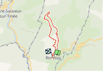

7,8 km | 16,3 km-effort


Gebruiker


Gratisgps-wandelapplicatie
 SityTrail
IGN / Geografische instituten
SityTrail World
De wereld gaat voor u open
Tocht van 6,8 km beschikbaar op Provence-Alpes-Côte d'Azur, Alpes-Maritimes, Rimplas. Deze tocht wordt voorgesteld door Lacavale.
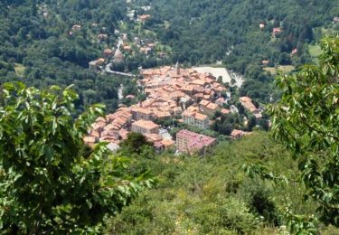
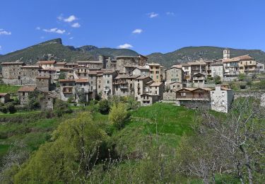
boucle au départ de Rimplas. Première moitié ombragée, deuxième moitié ensoleillée.
Le Pous Café vous attend au départ comme à l'arrivée, avec ses spécialités niçoises et sa bière du conté.

Stappen
Stappen

Te voet
Te voet
Te voet

Stappen

Ski randonnée

Ski randonnée

Stappen