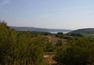
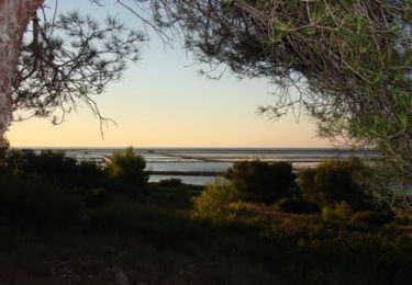
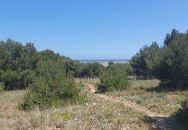
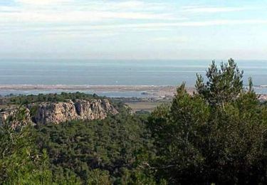
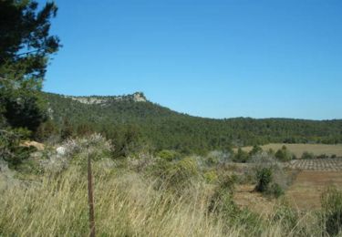
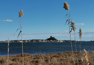
Tocht  Gruissan - Pierre richard  - Photo

Pierre richard

 Geraldine Mas
Geraldine Mas

Gebruiker

© OpenStreetMap contributors
Lengte
Lengte
3,1 km
Max. hoogte
Max. hoogte
29 m
Positief hoogteverschil
56 m
Km-Effort
Km-Effort  
3,8 km
Min. hoogte
Min. hoogte
2 m
Negatief hoogteverschil
53 m
Boucle
Boucle
Ja
Datum van aanmaak :
2024-05-15 13:09:22.0
Laatste wijziging :
2024-05-15 14:11:30.47

(0 Bericht)


Scan deze QR-code om de tocht te openen in de SityTrail-applicatie

Gratisgps-wandelapplicatie

Logo SityTrail SityTrail

IGN / Geografische instituten

SityTrail uit de App Store downloaden SityTrail uit Google Play downloaden

Logo SityTrail SityTrail World

De wereld gaat voor u open

SityTrail uit de App Store downloaden SityTrail uit Google Play downloaden SityTrail op Huawei AppGallery downloaden

Over ons

Tocht van 3,1 km beschikbaar op Occitanië, Aude, Gruissan. Deze tocht wordt voorgesteld door Geraldine Mas.

Hoogteprofiel

Plaatsbepaling

Land:
France
Regio :
Occitanië
Departement/Provincie :
Aude
Gemeente :
Gruissan
Locatie:
Unknown
Vertrek:(Dec)
Vertrek:(UTM)
504623 ; 4770580 (31T) N.

Wandeltochten in de omgeving

Tocht Stappen Gruissan - Ile St Martin près de Gruissan - Photo
Stappen
tracegps

Stappen

Gemakkelijk
(1)
Gruissan, Occitanië, Aude, France
8,3 km | 10 km-effort
2h 40min
Ja
Tocht Mountainbike Gruissan - Espace VTT FFC Clape de Gruissan - Circuit n°6 - La Montée des plateaux - Photo
Mountainbike
tracegps

Mountainbike

Zeer moeilijk
(2)
Gruissan, Occitanië, Aude, France
31 km | 38 km-effort
2h 40min
Ja
Tocht Stappen Gruissan - gruissan port a l'île st Martin  - Photo
Stappen
cyrilletaxi

Stappen

Moeilijk
(1)
Gruissan, Occitanië, Aude, France
21 km | 24 km-effort
5h 10min
Ja
Tocht Stappen Gruissan - La Clape - Gruissan - Photo
Stappen
tracegps

Stappen

Moeilijk
(4)
Gruissan, Occitanië, Aude, France
13,9 km | 18,9 km-effort
4h 30min
Neen
Tocht Mountainbike Gruissan - Espace VTT FFC Clape de Gruissan - Circuit n°5 - Les Garrigues - Photo
Mountainbike
tracegps

Mountainbike

Moeilijk
(1)
Gruissan, Occitanië, Aude, France
23 km | 27 km-effort
1h 30min
Ja
Tocht Stappen Gruissan - Le plan Vigné - Photo
Stappen
dufland

Stappen

Medium
(1)
Gruissan, Occitanië, Aude, France
3,6 km | 5,7 km-effort
1h 17min
Ja
Tocht Stappen Gruissan - Gruissan Les goules La capoulade - Photo
Stappen
GUIDE
Ada11

Stappen

Heel gemakkelijk
Gruissan, Occitanië, Aude, France
16,9 km | 20 km-effort
4h 7min
Ja
Tocht Stappen Gruissan - gruissan Auzils Goutine - Photo
Stappen
alaindesvaux

Stappen

Gemakkelijk
(2)
Gruissan, Occitanië, Aude, France
16,1 km | 22 km-effort
4h 3min
Ja
Tocht Stappen Gruissan - Dans le massif de la Clape - Photo
Stappen
tracegps

Stappen

Moeilijk
(1)
Gruissan, Occitanië, Aude, France
13 km | 17,5 km-effort
4h 0min
Ja


Sluiten
Mijn abonnementen