


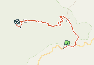

11,3 km | 19,8 km-effort

Gebruiker


Gratisgps-wandelapplicatie
 SityTrail
IGN / Geografische instituten
SityTrail World
De wereld gaat voor u open
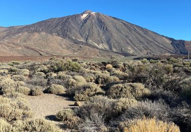
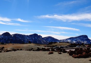
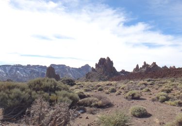
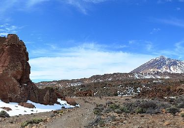
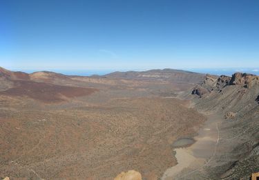
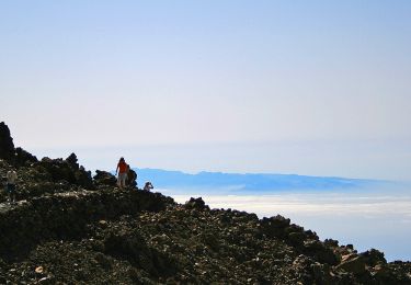
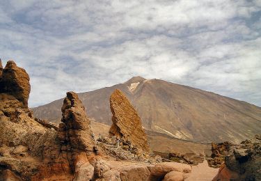
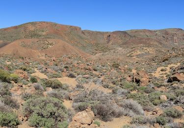
Tocht Stappen van 10,9 km beschikbaar op Canarische Eilanden, Santa Cruz de Tenerife, La Orotava. Deze tocht wordt voorgesteld door meunier.ph..
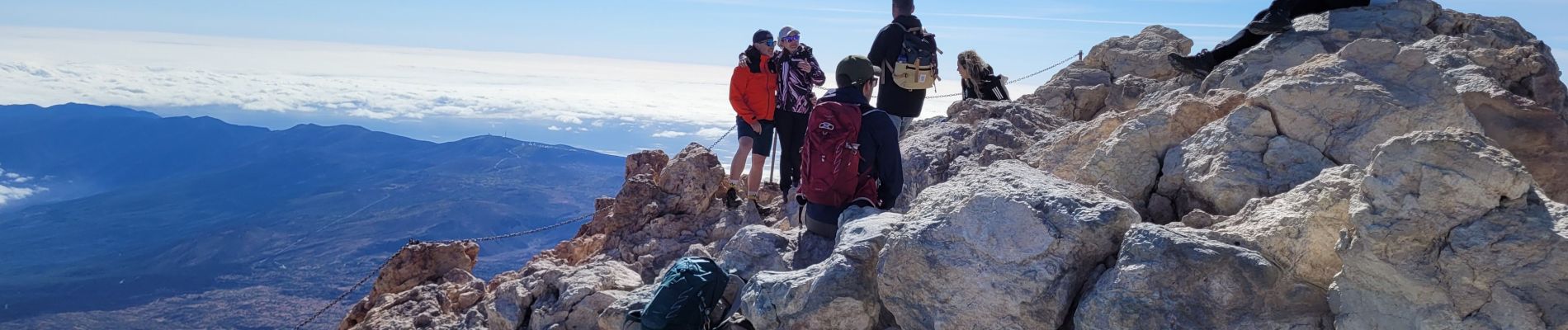
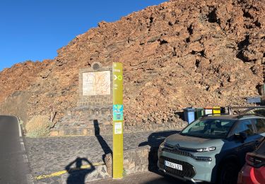
Départ depuis Montana Blanca. Autorisation obligatoire et gratuite à partir de la gare supérieure du téléphérique. Descente en téléphérique.


Te voet
Stappen
Te voet
Te voet
Te voet
Te voet
Te voet
Te voet
Te voet