


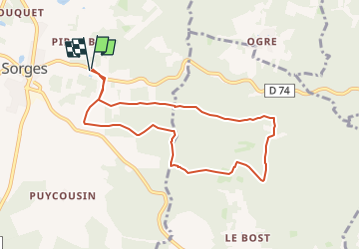

9,9 km | 12,6 km-effort


Gebruiker


Gratisgps-wandelapplicatie
 SityTrail
IGN / Geografische instituten
SityTrail World
De wereld gaat voor u open
Tocht Stappen van 8,1 km beschikbaar op Nieuw-Aquitanië, Dordogne, Sorges et Ligueux en Périgord. Deze tocht wordt voorgesteld door YV24.
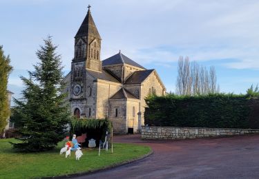
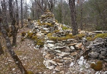
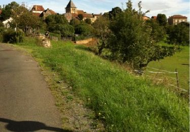
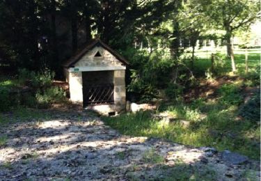
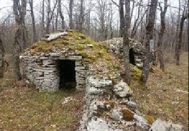
Boucle au départ du parking du village de vacances. Tracé principalement sur sentiers en sous bois. En grande partie ombragée. Pas de balisage spécifique.

Stappen
Stappen
Stappen

Stappen
Stappen
Stappen
Stappen

Stappen
Stappen