21 km | 27 km-effort
Du Cap de La Hague au Nez de Jobourg
yago1404
Gebruiker GUIDE
Lengte
12 km
Max. hoogte
128 m
Positief hoogteverschil
376 m
Km-Effort
16,6 km
Min. hoogte
0 m
Negatief hoogteverschil
257 m
Boucle
Neen
Datum van aanmaak :
2024-05-11 05:18:21.445
Laatste wijziging :
2024-05-11 05:20:30.039
3h46
Moeilijkheid : Moeilijk
Gratisgps-wandelapplicatie
Over ons
Tocht Stappen van 12 km beschikbaar op Normandië, Manche, La Hague. Deze tocht wordt voorgesteld door yago1404.
Beschrijving
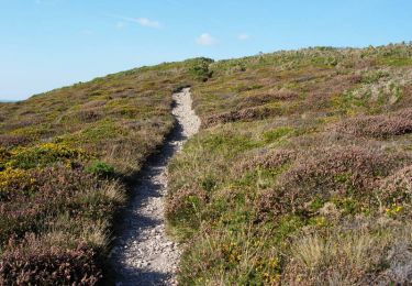
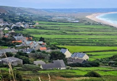
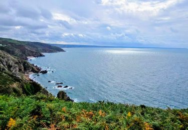
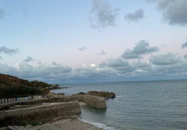
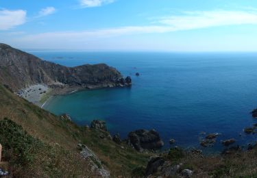
La face ouest de la pointe du Cotentin en longeant la côte.
Plaatsbepaling
Land:
France
Regio :
Normandië
Departement/Provincie :
Manche
Gemeente :
La Hague
Locatie:
Saint-Germain-des-Vaux
Vertrek:(Dec)
Vertrek:(UTM)
576992 ; 5508715 (30U) N.
Opmerkingen
Wandeltochten in de omgeving
Le Tour des Echoués - Jobourg
Mountainbike
Medium
(1)
La Hague,
Normandië,
Manche,
France
26 km | 32 km-effort
2h 0min
Ja
Ecalgrain et sa baie.
Stappen
Moeilijk
(4)
La Hague,
Normandië,
Manche,
France
13,4 km | 18,3 km-effort
3h 15min
Ja
SityTrail - 4202124 - cotentin-j3
Te voet
Moeilijk
La Hague,
Normandië,
Manche,
France
23 km | 33 km-effort
7h 30min
Neen
Séjour Cotentin Etape 3 Le nez de Jobourg et Biville a corriger
Stappen
Zeer moeilijk
La Hague,
Normandië,
Manche,
France
23 km | 33 km-effort
7h 31min
Neen
Séjour Cotentin Etape 2 Boucle Jobourg La Hague - Port Racine - Omonville la ...
Te voet
Moeilijk
La Hague,
Normandië,
Manche,
France
28 km | 34 km-effort
7h 44min
Ja
goury / vauville
Stappen
Moeilijk
(1)
La Hague,
Normandië,
Manche,
France
16,5 km | 24 km-effort
5h 17min
Neen
Magiquement votre
Stappen
Medium
La Hague,
Normandië,
Manche,
France
25 km | 33 km-effort
6h 12min
Ja
Boucle St-Germain-des-Vaux - Auderville - La Roche - Goury
Stappen
Gemakkelijk
La Hague,
Normandië,
Manche,
France
12,4 km | 14,7 km-effort
5h 22min
Ja