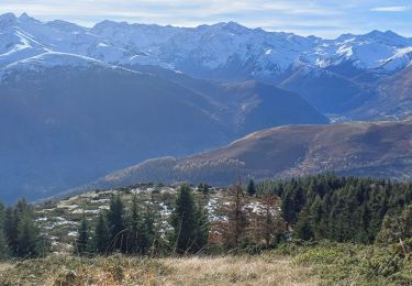
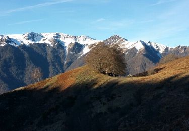
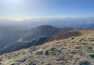
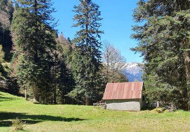
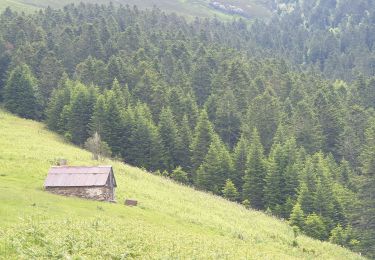
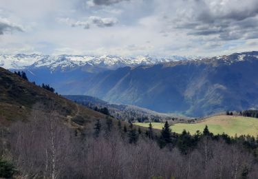
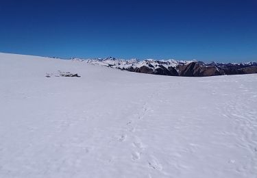
Tocht Stappen Gouaux-de-Luchon - Gouaux col du petit Maupas mail de la pique planet puis plagnette - Photo

Gouaux col du petit Maupas mail de la pique planet puis plagnette

© OpenStreetMap contributors
Lengte
Lengte
14,4 km
Max. hoogte
Max. hoogte
1870 m
Positief hoogteverschil
1081 m
Km-Effort
Km-Effort  
29 km
Min. hoogte
Min. hoogte
848 m
Negatief hoogteverschil
1080 m
Boucle
Boucle
Ja
Datum van aanmaak :
2024-05-08 06:27:36.0
Laatste wijziging :
2024-05-08 14:03:10.554

(0 Bericht)

Stappen
Stappen
5h01
Moeilijkheid : Heel gemakkelijk

Scan deze QR-code om de tocht te openen in de SityTrail-applicatie

Gratisgps-wandelapplicatie

Logo SityTrail SityTrail

IGN / Geografische instituten

SityTrail uit de App Store downloaden SityTrail uit Google Play downloaden

Logo SityTrail SityTrail World

De wereld gaat voor u open

SityTrail uit de App Store downloaden SityTrail uit Google Play downloaden SityTrail op Huawei AppGallery downloaden

Over ons

Tocht Stappen van 14,4 km beschikbaar op Occitanië, Haute-Garonne, Gouaux-de-Luchon. Deze tocht wordt voorgesteld door (null) (null)2d73a32012fbb405f85d3457f10971c41.

Beschrijving

Puis plagnette Baren puis Gouaux

Hoogteprofiel

Plaatsbepaling

Land:
France
Regio :
Occitanië
Departement/Provincie :
Haute-Garonne
Gemeente :
Gouaux-de-Luchon
Locatie:
Unknown
Vertrek:(Dec)
Vertrek:(UTM)
305639 ; 4747392 (31T) N.

Wandeltochten in de omgeving

Tocht Stappen Saccourvielle - Cap de Salières en boucle depuis Saccourvielle - Photo
Stappen
GUIDE
lhomme.ph

Stappen

Medium
Saccourvielle, Occitanië, Haute-Garonne, France
12,1 km | 24 km-effort
6h 23min
Ja
Tocht Stappen Baren - mail de la Pique 01 2018 - Photo
Stappen
chrisgps

Stappen

Heel gemakkelijk
(1)
Baren, Occitanië, Haute-Garonne, France
7,6 km | 19,1 km-effort
4h 55min
Ja
Tocht Stappen Artigue - ARTIGUE - Gouaux de Luchon - chemin forestier - Photo
Stappen
josy31

Stappen

Medium
(1)
Artigue, Occitanië, Haute-Garonne, France
13,7 km | 23 km-effort
3h 21min
Ja
Tocht Stappen Sode - cabane de Plan Pouné, par refuge de Cualot - Photo
Stappen
chrisgps

Stappen

Zeer moeilijk
Sode, Occitanië, Haute-Garonne, France
9,8 km | 19,5 km-effort
4h 26min
Ja
Tocht Stappen Artigue - Artigue par la cabane du plan Bosc et la cabane de Saunères - Photo
Stappen
swp648

Stappen

Moeilijk
Artigue, Occitanië, Haute-Garonne, France
10,5 km | 18,3 km-effort
4h 10min
Ja
Tocht Stappen Baren - Mail de la Pique depuis Baren - Photo
Stappen
GUIDE
lhomme.ph

Stappen

Moeilijk
Baren, Occitanië, Haute-Garonne, France
9,8 km | 23 km-effort
6h 43min
Ja
Tocht Stappen Artigue - 2022-02-26 Artigue - cabane de peyrehitte - mont Majou -  luchonais - Photo
Stappen
jacq58

Stappen

Moeilijk
Artigue, Occitanië, Haute-Garonne, France
12 km | 22 km-effort
3h 33min
Ja
Tocht Te voet Artigue - Pic de Bacanère - Photo
Te voet
GUIDE+

Te voet

Gemakkelijk
Artigue, Occitanië, Haute-Garonne, France
8,3 km | 18,3 km-effort
4h 9min
Neen
Tocht Stappen Artigue - Le Montmajou en boucle depuis Artigue - Photo
Stappen
GUIDE
lhomme.ph

Stappen

Medium
Artigue, Occitanië, Haute-Garonne, France
11,1 km | 23 km-effort
6h 7min
Ja


Sluiten
Mijn abonnementen