


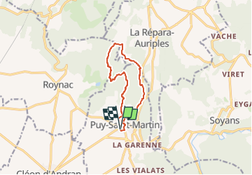

10,7 km | 13,6 km-effort

Gebruiker GUIDE


Gratisgps-wandelapplicatie
 SityTrail
IGN / Geografische instituten
SityTrail World
De wereld gaat voor u open
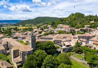
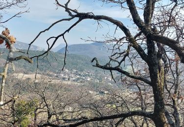
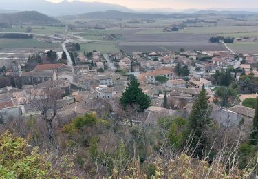
Tocht Stappen van 10,4 km beschikbaar op Auvergne-Rhône-Alpes, Drôme, Puy-Saint-Martin. Deze tocht wordt voorgesteld door chancha.
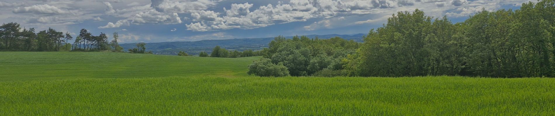
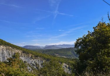
Belle Randonnée. Faire attention a la hauteur de la Rochette le chemin en descendant n'est pas très bon et pas bien entretenu mais il reste praticable .


Stappen
Stappen

Stappen
Stappen
Stappen
Stappen

Stappen

Stappen
Stappen