


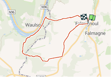

19,3 km | 26 km-effort

Gebruiker


Gratisgps-wandelapplicatie
 SityTrail
IGN / Geografische instituten
SityTrail World
De wereld gaat voor u open
Tocht van 8 km beschikbaar op Wallonië, Namen, Dinant. Deze tocht wordt voorgesteld door Michele Vercauteren.
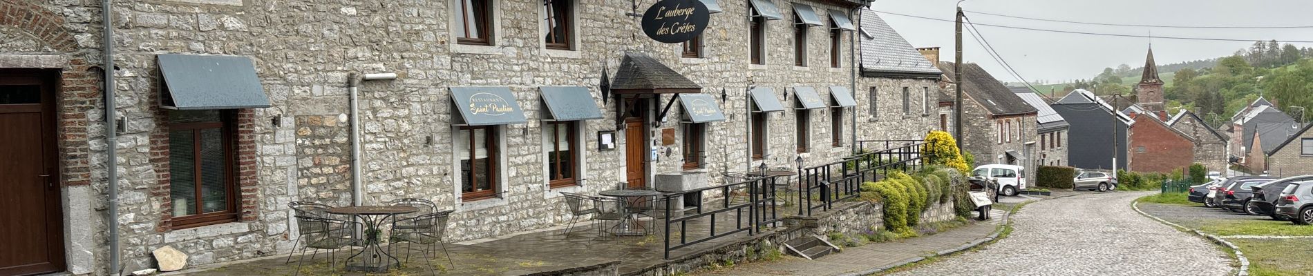
Magnifique promenade au départ de Falmignoul pour aller voir des petites cascades qui se succèdent pour se jeter dans la Meuse. Délicieux halte gourmande à la boulangerie pâtisserie Les Gourmandises du Moulin.


Stappen

Stappen

Stappen

Stappen

Stappen

Stappen

Stappen
Stappen

Stappen