


20 km | 28 km-effort

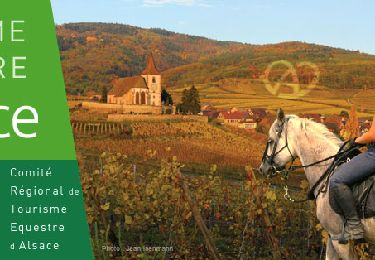
JOIE ET BONHEUR DE LA RANDONNEE A CHEVAL


Gratisgps-wandelapplicatie
 SityTrail
IGN / Geografische instituten
SityTrail World
De wereld gaat voor u open
Tocht Paardrijden van 17,7 km beschikbaar op Grand Est, Vogezen, Moyenmoutier. Deze tocht wordt voorgesteld door ASSOCIATION DES CAVALIERS DU PAYS LUNEVILLOIS.
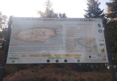
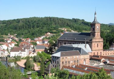
Moyenmoutier - Provenchères
Mountainbike
Stappen
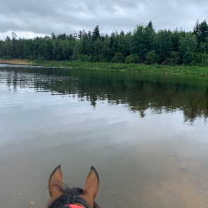
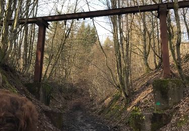
Paardrijden
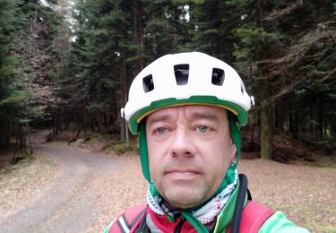
Mountainbike

Mountainbike
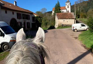
Paardrijden
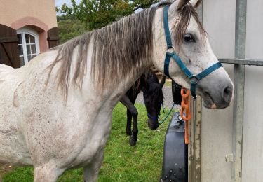
Paardrijden
Paardrijden
Te voet