


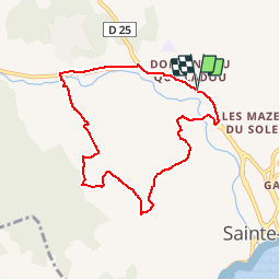


8,1 km | 10,6 km-effort


Gebruiker


Gratisgps-wandelapplicatie
 SityTrail
IGN / Geografische instituten
SityTrail World
De wereld gaat voor u open
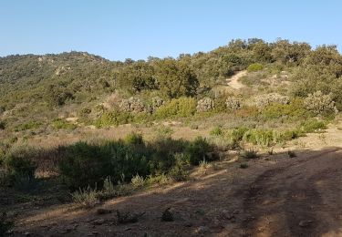
Tocht Stappen van 7,8 km beschikbaar op Provence-Alpes-Côte d'Azur, Var, Sainte-Maxime. Deze tocht wordt voorgesteld door perrucheone.
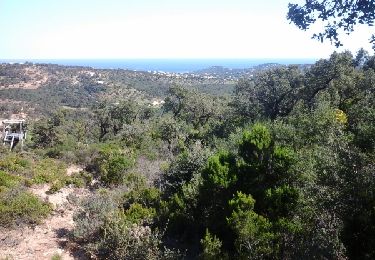
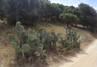
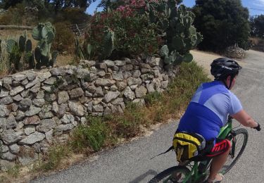
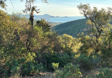
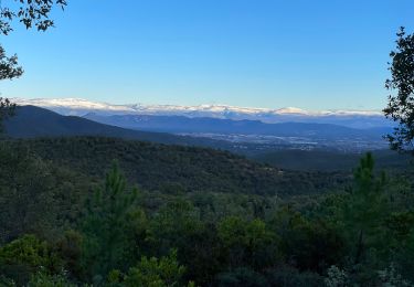
Au départ du camping"La Baumette" ce circuit vous emmène sur de magnifiques vues sur la baie de St-Tropez.Attention après plus ou moins 2 kms montée asez rude pendant environ 500 mètres.
Stappen

Stappen
Mountainbike
Mountainbike
Stappen
Stappen
Stappen
Stappen
Stappen