


7,8 km | 10,1 km-effort

Gebruiker


Gratisgps-wandelapplicatie
 SityTrail
IGN / Geografische instituten
SityTrail World
De wereld gaat voor u open
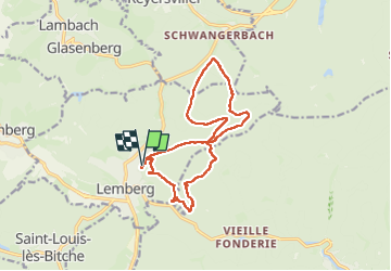
Tocht Stappen van 14,4 km beschikbaar op Grand Est, Moselle, Lemberg. Deze tocht wordt voorgesteld door Bart2015.
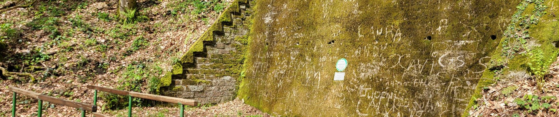
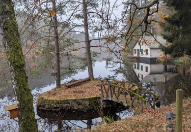
Belle randonnée depuis le village de Lemberg, départ au Chalet du club vosgien. Première étape le lavoir et la petite cascade des Ondines. Ensuite passage par les grottes (encore habitées) du Hasslingerfelsen, du Chorfelsen et du Krippenfelsen. La seconde partie longe une série d'étangs avant de revenir à Lemberg.
Bonne rando ...


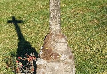
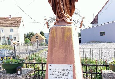
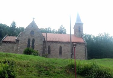
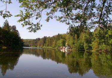
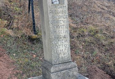
24 fotos in totaal. Klik op een foto om ze allemaal in de galerij weer te geven.

Stappen

Stappen

Stappen
Paardrijden
Te voet
Te voet
Te voet
Te voet
Te voet