


30 km | 40 km-effort


Gebruiker


Gratisgps-wandelapplicatie
 SityTrail
IGN / Geografische instituten
SityTrail World
De wereld gaat voor u open
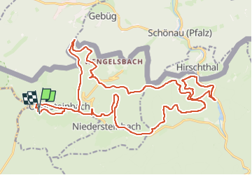
Tocht Huifkarwandeling van 27 km beschikbaar op Grand Est, Bas-Rhin, Obersteinbach. Deze tocht wordt voorgesteld door FlorieAnne.
Pour la dernière partie à compter du col, passer par le gros chemin en allemagne et non le chemin balisé rond rouge
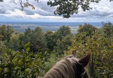
Paardrijden
Paardrijden

Paardrijden
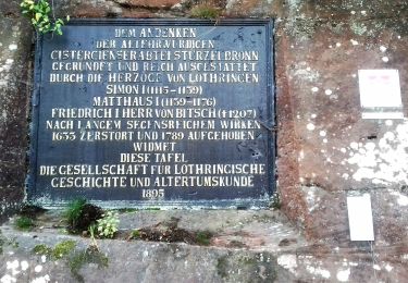
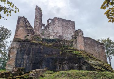
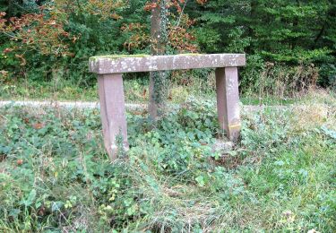
Te voet
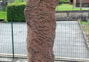
Te voet
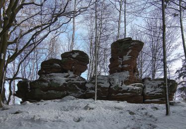
Te voet

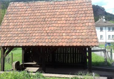
Te voet
Te voet
Te voet