


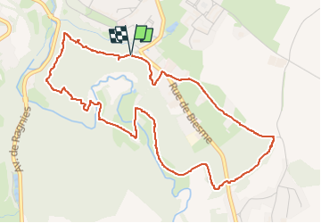


8,7 km | 10,9 km-effort

Gebruiker GUIDE


Gratisgps-wandelapplicatie
 SityTrail
IGN / Geografische instituten
SityTrail World
De wereld gaat voor u open
Tocht Stappen van 5,3 km beschikbaar op Wallonië, Henegouwen, Thuin. Deze tocht wordt voorgesteld door Desrumaux.
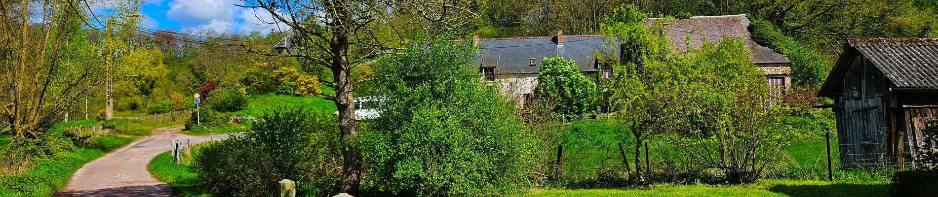
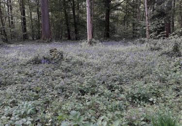
Très jolie promenade dans le Bois du Grand Bon Dieu à Thuin
Départ parkiing du Bois du Grand Bon Dieu au croisement de l'avenue Buisseret et de la rue de Biesme.
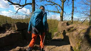


21 fotos in totaal. Klik op een foto om ze allemaal in de galerij weer te geven.

Stappen

Stappen

Stappen

Stappen

Stappen

Stappen

Stappen

Stappen
Stappen