


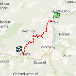

14,2 km | 23 km-effort


Gebruiker


Gratisgps-wandelapplicatie
 SityTrail
IGN / Geografische instituten
SityTrail World
De wereld gaat voor u open
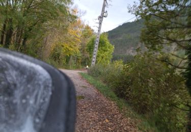
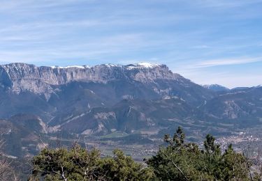
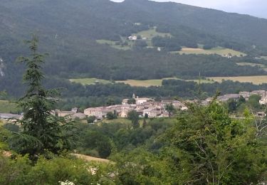
Tocht Stappen van 15,1 km beschikbaar op Auvergne-Rhône-Alpes, Drôme, Pontaix. Deze tocht wordt voorgesteld door Djac.
Pontaix, le château, les Clots,
Passerie, Rnes, les Aiguilles
Château de Barry
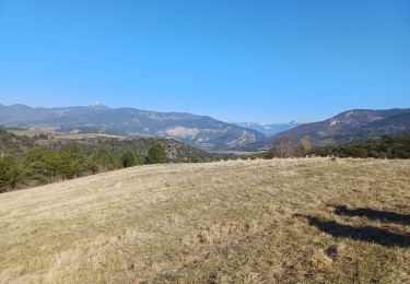
Côte Chaude, Col des Vallons
Chabrie, Trélaville
les Vallons, Chambreyron
Saillans

Stappen

Noords wandelen

Stappen
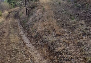
Stappen
Stappen
Stappen
Wegfiets
Stappen
Stappen