


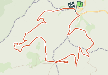

14,9 km | 21 km-effort

Gebruiker


Gratisgps-wandelapplicatie
 SityTrail
IGN / Geografische instituten
SityTrail World
De wereld gaat voor u open
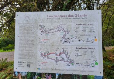
Tocht Stappen van 15,8 km beschikbaar op Grand Est, Bas-Rhin, Lutzelhouse. Deze tocht wordt voorgesteld door Mich&Agnès.
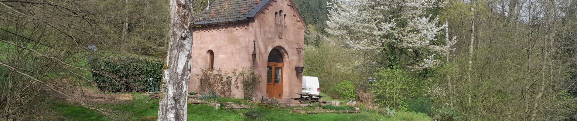
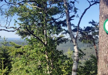
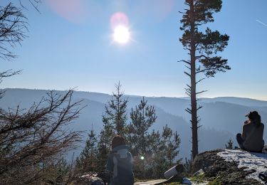
belle promenade dans les bois avec en prime une porte de pierre magnifique et plus loin au petit Katzenberg un promontoire qui fait de votre casse croûte un moment divin (s'il fait beau !)


Stappen

Stappen

Mountainbike
Stappen

Stappen
Stappen
Stappen
Stappen
Stappen