


22 km | 28 km-effort

Randonnez sur et autour des GR ® wallons (Sentiers de Grande Randonnée). PRO


Gratisgps-wandelapplicatie
 SityTrail
IGN / Geografische instituten
SityTrail World
De wereld gaat voor u open
Tocht Stappen van 17,1 km beschikbaar op Wallonië, Luik, Anthisnes. Deze tocht wordt voorgesteld door GR Rando.
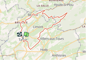
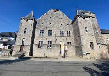
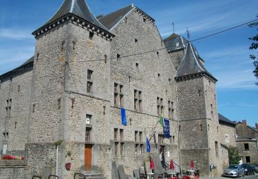
Autour de Tavier, entre Meuse et Ourthe
(Tavier – Baugnée – Berleur – Lagrange – Hestreux - Tavier)
Cartographie et documentation :
Cartes IGN au 1:25 000, réseau Tarpan «Anthisnes – Esneux» et au 1:30 000, «Province de Liège – Rando Condroz».
Topo-guides du GR 57 «Vallée de l’Ourthe et sentier du Nord» et du GR 575/576 «À travers le Condroz».
Où se désaltérer et se restaurer :
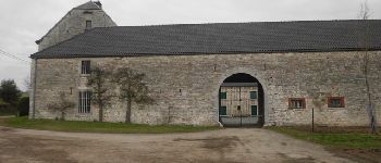
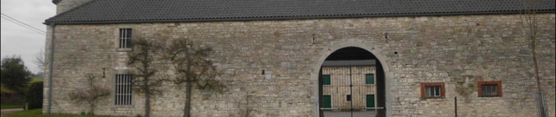
Brasserie «A Tultay» au carrefour de la N638 et de la rue de la Magrée (à 1 km de Tavier).


Stappen

Stappen

Stappen

Stappen
Te voet
Stappen

Mountainbike
Stappen
Te voet