


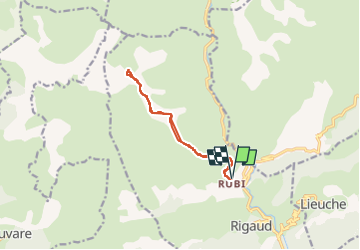

12,2 km | 20 km-effort

Gebruiker


Gratisgps-wandelapplicatie
 SityTrail
IGN / Geografische instituten
SityTrail World
De wereld gaat voor u open
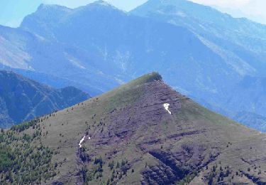
Tocht Sneeuwschoenen van 11,6 km beschikbaar op Provence-Alpes-Côte d'Azur, Alpes-Maritimes, Rigaud. Deze tocht wordt voorgesteld door bozo1970.
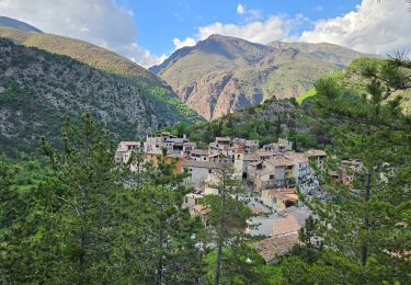
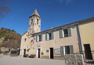
Départ de Rubi
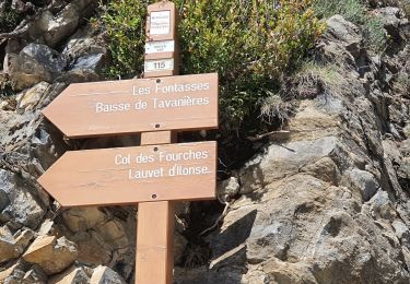
Balise 210 en 30’ D 250m et 1km200
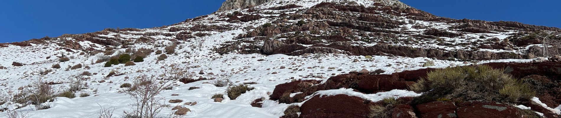
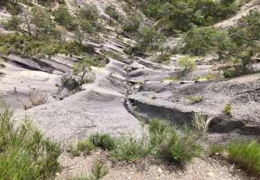
Début de la neige vers 1600m
Fin du sentier en 2h46’ D 920m et 5km400
Sommet en 3h53’ D 1156m et 6km300
Pas de glace
Escalade du sommet avec les mains
A/R en 5h53’ et 12km
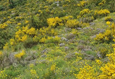
Cerf biches faons


Te voet
Stappen
Stappen

Stappen
Te voet
Stappen
Stappen
Stappen
Stappen