


16,5 km | 28 km-effort

Gebruiker


Gratisgps-wandelapplicatie
 SityTrail
IGN / Geografische instituten
SityTrail World
De wereld gaat voor u open
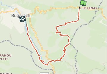
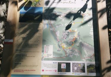
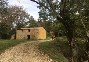
Tocht Stappen van 9,3 km beschikbaar op Occitanië, Aude, Bugarach. Deze tocht wordt voorgesteld door jacques delaporte.
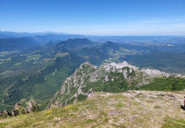
Col du Linas
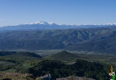
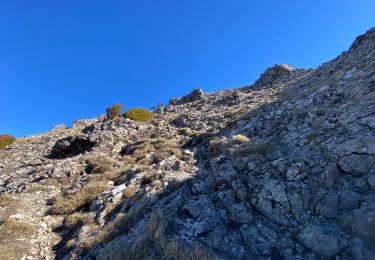
Pech de Bugarach
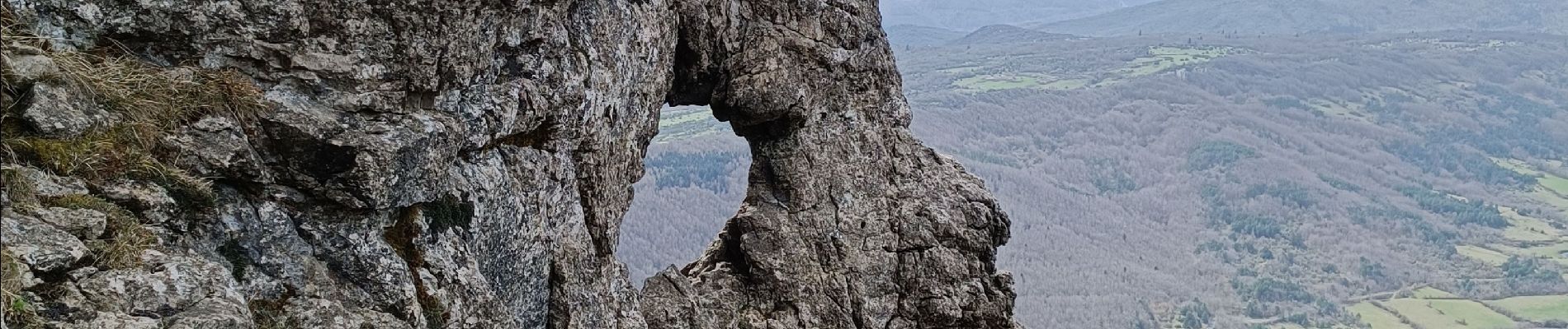
La fenêtre
Cascade des Mathieux
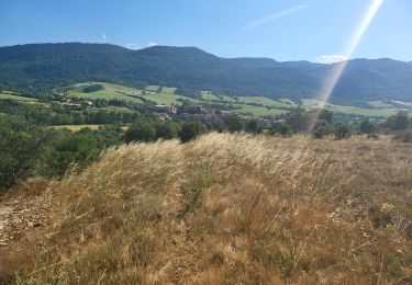
Lac de la vène
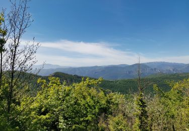
superbe randonnée à faire...
Etre un randonneur Averti car ça monte bien 👍
magnifiques paysages,la fenêtre est fantastique ainsi que le Pech de Bugarach,le Lac de la vène sera notre baignoire pour ce soir et le petit emplacement pour un bivouac réussi,bbq déjà en place...


Stappen
Stappen
Stappen
Stappen
Stappen
Stappen

Stappen
Stappen