


11,2 km | 13,9 km-effort

Gebruiker


Gratisgps-wandelapplicatie
 SityTrail
IGN / Geografische instituten
SityTrail World
De wereld gaat voor u open
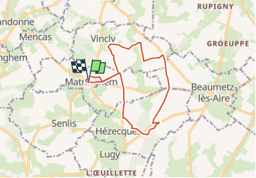
Tocht Stappen van 12,3 km beschikbaar op Hauts-de-France, Pas-de-Calais, Matringhem. Deze tocht wordt voorgesteld door temmichel.
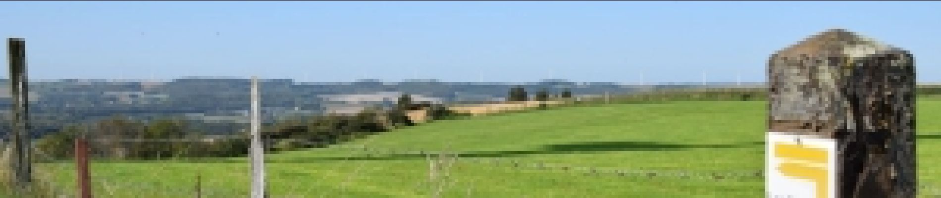
Cette randonnée vous fera découvrir le Mont Hézecques, le Mont d'Anguilbert, le Mont Grave et le Mont Fontaine premières collines artésiennes de la vallée de la Lys
Bonne randonnée
Jean-Michel
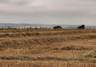
 - Les Monts - Photo 1")

Stappen
Stappen
Stappen
Stappen

Mountainbike
Stappen
Stappen
Stappen
Stappen