


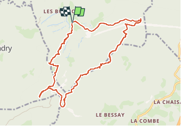

7,7 km | 28 km-effort

Gebruiker


Gratisgps-wandelapplicatie
 SityTrail
IGN / Geografische instituten
SityTrail World
De wereld gaat voor u open
Tocht Stappen van 11,5 km beschikbaar op Auvergne-Rhône-Alpes, Savoie, Montgilbert. Deze tocht wordt voorgesteld door jibebouvier.
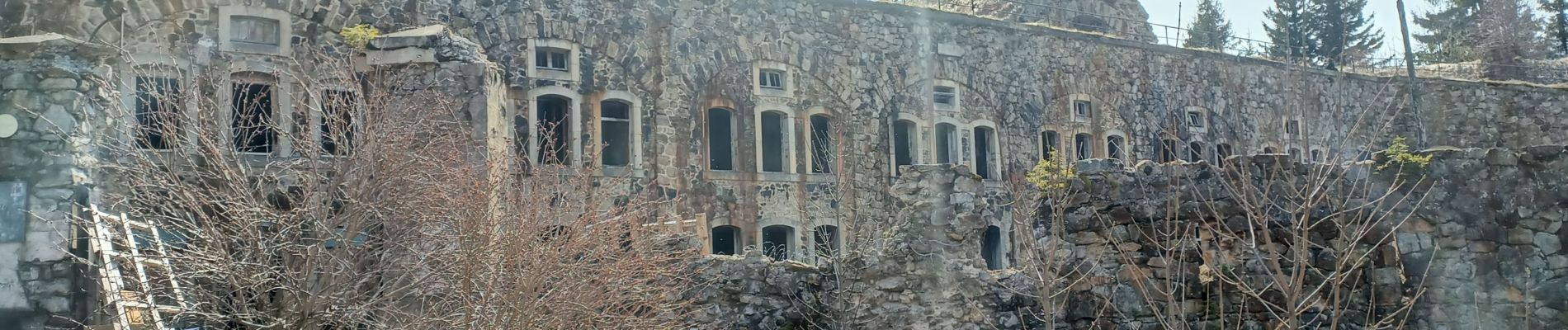
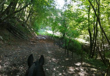
se garer à la salle des fêtes de Montgilbert puis direction St Georges puis monter (j'ai un peu coupé) vers les batteries.
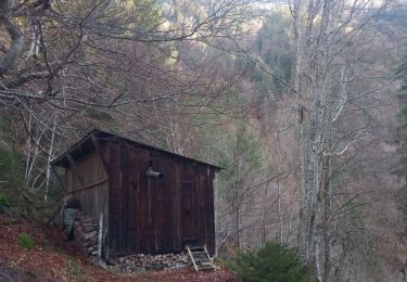
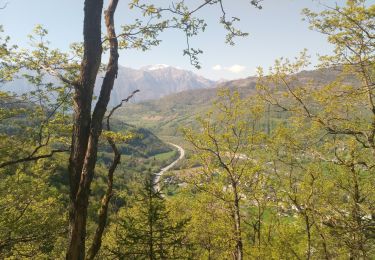
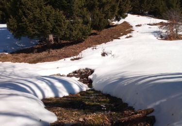
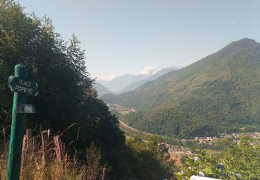
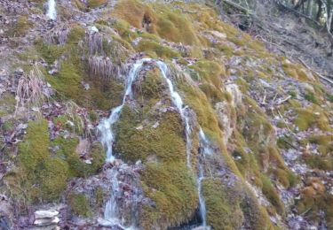
beaux points de vues
j'ai tenté la descente sur un chemin qui n'existe plus... vieux vaut passer par la crête, c'est plus joli et plus "roulant"


Stappen
Stappen
Stappen
Stappen
Paardrijden
Stappen

Stappen
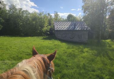
Paardrijden
Stappen