


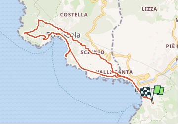

14,1 km | 23 km-effort


Gebruiker


Gratisgps-wandelapplicatie
 SityTrail
IGN / Geografische instituten
SityTrail World
De wereld gaat voor u open
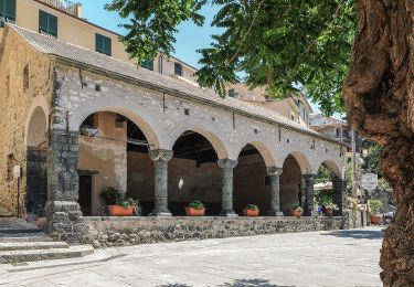
Tocht Stappen van 11,3 km beschikbaar op Ligurië, La Spezia, Levanto. Deze tocht wordt voorgesteld door Morelli.
Au départ de Levento par les tunnels jusqu'à Bonasolla puis par le 661 jusqu'au saut du lièvre où la vue est magnifique. Retour par le SVA.

Stappen

Te voet
Te voet

Te voet
Te voet
Te voet

Te voet

Te voet
Te voet