11 km | 15,3 km-effort
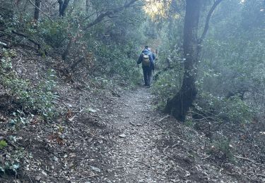
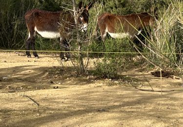
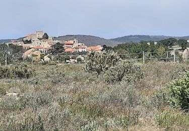
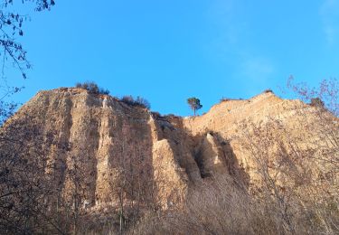
Rodes, La Cazas, Ropidera, la Prade, la Cogulera et descente vers le lac et retour par le bord nord du lac de Vinca
Denis Delay
Gebruiker
Lengte
13,9 km
Max. hoogte
513 m
Positief hoogteverschil
458 m
Km-Effort
20 km
Min. hoogte
195 m
Negatief hoogteverschil
458 m
Boucle
Ja
Datum van aanmaak :
2024-03-17 19:19:55.219
Laatste wijziging :
2024-03-17 19:19:56.319
4h32
Moeilijkheid : Zeer moeilijk
Gratisgps-wandelapplicatie
Over ons
Tocht Stappen van 13,9 km beschikbaar op Occitanië, Pyrénées-Orientales, Rodès. Deze tocht wordt voorgesteld door Denis Delay.
Beschrijving
depart au parking de Rodes.
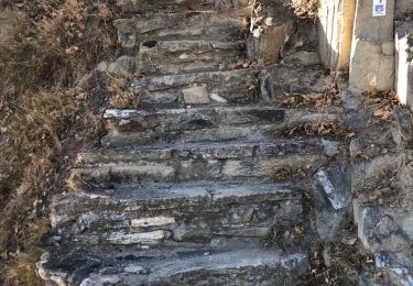
difficile pour descendre de la Cogulera et longer le lac de Vinca.
Plaatsbepaling
Land:
France
Regio :
Occitanië
Departement/Provincie :
Pyrénées-Orientales
Gemeente :
Rodès
Locatie:
Unknown
Vertrek:(Dec)
Vertrek:(UTM)
463745 ; 4722793 (31T) N.
Opmerkingen
Wandeltochten in de omgeving
ILLE TÊT 66 - PIC PEDROUS - CASESNOVES
Stappen
Medium
(10)
Ille-sur-Têt,
Occitanië,
Pyrénées-Orientales,
France
2h 22min
Ja
parcours ronde de Sahorle 2013
Mountainbike
Medium
(1)
Vinça,
Occitanië,
Pyrénées-Orientales,
France
17 km | 22 km-effort
1h 27min
Ja
Montauban le château corral grandes or
Stappen
Moeilijk
Montalba-le-Château,
Occitanië,
Pyrénées-Orientales,
France
12,9 km | 16,3 km-effort
3h 42min
Ja
puig pedros
Stappen
Medium
Ille-sur-Têt,
Occitanië,
Pyrénées-Orientales,
France
11,7 km | 15,6 km-effort
3h 57min
Ja
Marcevol
Stappen
Zeer moeilijk
Arboussols,
Occitanië,
Pyrénées-Orientales,
France
15,9 km | 23 km-effort
6h 58min
Ja
Tarerach
Stappen
Moeilijk
Tarerach,
Occitanië,
Pyrénées-Orientales,
France
12 km | 16,2 km-effort
3h 19min
Ja
montant a
Stappen
Moeilijk
Montalba-le-Château,
Occitanië,
Pyrénées-Orientales,
France
11,8 km | 14,7 km-effort
5h 2min
Neen
20221222 Rodés - Domanova…. Boucle
Stappen
Medium
Rodès,
Occitanië,
Pyrénées-Orientales,
France
21 km | 33 km-effort
5h 49min
Ja
Ille st jules
Stappen
Moeilijk
Ille-sur-Têt,
Occitanië,
Pyrénées-Orientales,
France
11,2 km | 12,7 km-effort
3h 2min
Ja