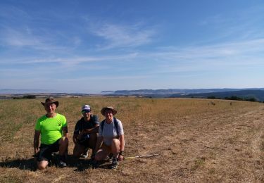
8,2 km | 11,3 km-effort
ceilhes le clapier moulés
lablaquiere
Gebruiker
Lengte
54 km
Max. hoogte
802 m
Positief hoogteverschil
1200 m
Km-Effort
70 km
Min. hoogte
402 m
Negatief hoogteverschil
1199 m
Boucle
Ja
Datum van aanmaak :
2024-03-17 13:32:21.184
Laatste wijziging :
2024-03-17 17:47:46.862
3h29
Moeilijkheid : Zeer moeilijk
Gratisgps-wandelapplicatie
Over ons
Tocht Mountainbike van 54 km beschikbaar op Occitanië, Aveyron, Saint-Félix-de-Sorgues. Deze tocht wordt voorgesteld door lablaquiere.
Plaatsbepaling
Land:
France
Regio :
Occitanië
Departement/Provincie :
Aveyron
Gemeente :
Saint-Félix-de-Sorgues
Locatie:
Unknown
Vertrek:(Dec)
Vertrek:(UTM)
499206 ; 4858742 (31T) N.
Opmerkingen
Wandeltochten in de omgeving
Le mazet trounas montagneol le mazet
Stappen
Medium
Montagnol,
Occitanië,
Aveyron,
France
2h 0min
Ja
nonenque vialaret batisse nonenque
Lopen
Heel gemakkelijk
Marnhagues-et-Latour,
Occitanië,
Aveyron,
France
10,3 km | 14,6 km-effort
2h 4min
Ja
nonenque vierges grotte nonenque
Stappen
Heel gemakkelijk
Marnhagues-et-Latour,
Occitanië,
Aveyron,
France
4,5 km | 7,2 km-effort
1h 33min
Ja
roquaubel brûle par marquisard
Lopen
Heel gemakkelijk
Marnhagues-et-Latour,
Occitanië,
Aveyron,
France
7,3 km | 10,7 km-effort
1h 27min
Ja
St Jean alcas
Stappen
Gemakkelijk
Saint-Jean-et-Saint-Paul,
Occitanië,
Aveyron,
France
18 km | 23 km-effort
6h 58min
Neen
Gissac les Douzoux le Bouis 12 km
Stappen
Gemakkelijk
Gissac,
Occitanië,
Aveyron,
France
11,9 km | 15,8 km-effort
2h 56min
Ja
les Canyons du Rougier
Stappen
Medium
Gissac,
Occitanië,
Aveyron,
France
9,7 km | 13,1 km-effort
2h 45min
Ja
la Loubiere
Stappen
Medium
Saint-Félix-de-Sorgues,
Occitanië,
Aveyron,
France
5,7 km | 7,8 km-effort
2h 5min
Ja
st felix montagnol aventure
Stappen
Moeilijk
Saint-Félix-de-Sorgues,
Occitanië,
Aveyron,
France
27 km | 37 km-effort
7h 49min
Ja