


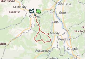

11,9 km | 17 km-effort


Gebruiker GUIDE


Gratisgps-wandelapplicatie
 SityTrail
IGN / Geografische instituten
SityTrail World
De wereld gaat voor u open
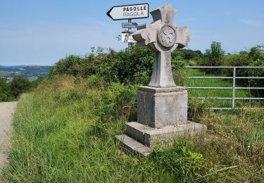
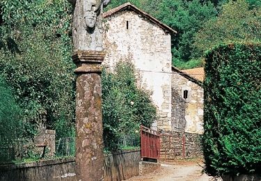
Tocht Te voet van 9,8 km beschikbaar op Nieuw-Aquitanië, Pyrénées-Atlantiques, Ordiarp. Deze tocht wordt voorgesteld door marmotte65.
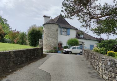
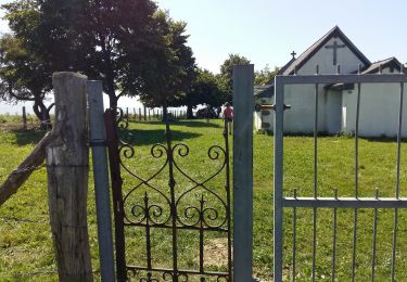
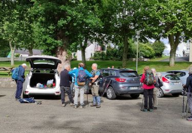
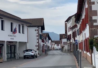
Du parking du fronton ou de l'église:
Contourner l'église puis le cimetiere par la droite, et laissez vous guider par le GPS
Stappen
Stappen
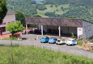
Stappen
Stappen
Stappen
Stappen
Stappen
Stappen
Stappen