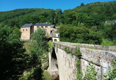
8,4 km | 12,6 km-effort
st Juliette
Pascal Lemaire
Gebruiker
Lengte
13,6 km
Max. hoogte
579 m
Positief hoogteverschil
537 m
Km-Effort
21 km
Min. hoogte
423 m
Negatief hoogteverschil
537 m
Boucle
Ja
Datum van aanmaak :
2024-03-10 08:17:14.526
Laatste wijziging :
2024-03-10 14:18:05.366
4h22
Moeilijkheid : Zeer moeilijk
Gratisgps-wandelapplicatie
Over ons
Tocht Stappen van 13,6 km beschikbaar op Occitanië, Aveyron, Sainte-Juliette-sur-Viaur. Deze tocht wordt voorgesteld door Pascal Lemaire.
Plaatsbepaling
Land:
France
Regio :
Occitanië
Departement/Provincie :
Aveyron
Gemeente :
Sainte-Juliette-sur-Viaur
Locatie:
Unknown
Vertrek:(Dec)
Vertrek:(UTM)
462139 ; 4894951 (31T) N.
Opmerkingen
Wandeltochten in de omgeving
Ste Juliette sur Viaur - Vallée du Viaur
Stappen
Medium
Sainte-Juliette-sur-Viaur,
Occitanië,
Aveyron,
France
3h 30min
Ja
Salmiech, Rocher de Peyrelevade
Stappen
Medium
Salmiech,
Occitanië,
Aveyron,
France
9,9 km | 13 km-effort
2h 45min
Ja
Abbaye de Bonnecombe via Comps La Grand Ville
Stappen
Zeer moeilijk
Comps-la-Grand-Ville,
Occitanië,
Aveyron,
France
21 km | 27 km-effort
6h 18min
Ja
Pont de Grandfuel - Versailles
sport
Heel gemakkelijk
Comps-la-Grand-Ville,
Occitanië,
Aveyron,
France
13,9 km | 18,8 km-effort
Onbekend
Neen
rieupeyroux 2018
Motor
Heel gemakkelijk
Calmont,
Occitanië,
Aveyron,
France
93 km | 129 km-effort
2h 30min
Neen
rieupeyroux 2018
Motor
Heel gemakkelijk
Calmont,
Occitanië,
Aveyron,
France
93 km | 129 km-effort
2h 30min
Neen
viaur
Stappen
Heel gemakkelijk
Cassagnes-Bégonhès,
Occitanië,
Aveyron,
France
2,3 km | 4 km-effort
58min
Neen