


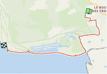

6 km | 6,1 km-effort


Gebruiker


Gratisgps-wandelapplicatie
 SityTrail
IGN / Geografische instituten
SityTrail World
De wereld gaat voor u open
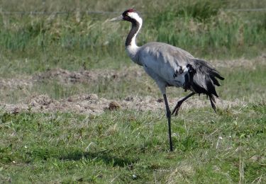
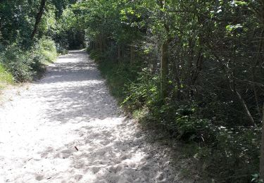
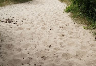
Tocht Stappen van 6,8 km beschikbaar op Hauts-de-France, Somme, Saint-Quentin-en-Tourmont. Deze tocht wordt voorgesteld door emileverschueren.


Stappen

Stappen

Paard

Stappen
Te voet
Te voet
Stappen
Noords wandelen
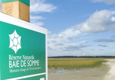
ATTENTION une partie du circuit traverse la réserve naturelle nationale de baie de Somme avec sa réglementation propre notamment l'interdiction des chiens toute l'année