18,4 km | 25 km-effort
La Gineste 6,7
PariseJL
Gebruiker
Lengte
6,7 km
Max. hoogte
416 m
Positief hoogteverschil
178 m
Km-Effort
9,1 km
Min. hoogte
282 m
Negatief hoogteverschil
179 m
Boucle
Ja
Datum van aanmaak :
2024-03-07 10:11:39.439
Laatste wijziging :
2024-03-07 12:18:11.793
1h59
Moeilijkheid : Heel gemakkelijk
Gratisgps-wandelapplicatie
Over ons
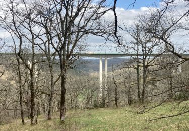
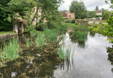
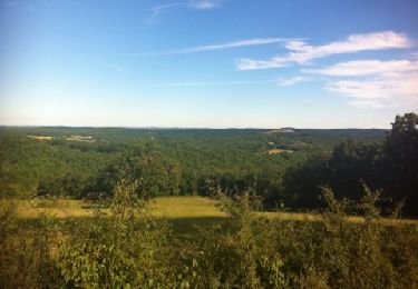
Tocht Stappen van 6,7 km beschikbaar op Occitanië, Lot, Ussel. Deze tocht wordt voorgesteld door PariseJL.
Plaatsbepaling
Land:
France
Regio :
Occitanië
Departement/Provincie :
Lot
Gemeente :
Ussel
Locatie:
Unknown
Vertrek:(Dec)
Vertrek:(UTM)
379922 ; 4938684 (31T) N.
Opmerkingen
Wandeltochten in de omgeving
boucle mossoronniere oppidum murcens vallée de la rose
Stappen
Moeilijk
Cras,
Occitanië,
Lot,
France
6h 25min
Ja
Francoules
Stappen
Heel gemakkelijk
Francoulès,
Occitanië,
Lot,
France
9 km | 11,9 km-effort
1h 57min
Ja
Mechmont gigouzac
Stappen
Heel gemakkelijk
Mechmont,
Occitanië,
Lot,
France
13,7 km | 17,8 km-effort
3h 17min
Ja
Gigouzac_Escalmels_Mas de Bertrand_Combe d'Escalmels 5,5
Stappen
Heel gemakkelijk
Gigouzac,
Occitanië,
Lot,
France
5,3 km | 7,3 km-effort
5h 24min
Ja
Maxou Laborie_Pech-Dentu
Andere activiteiten
Heel gemakkelijk
Maxou,
Occitanië,
Lot,
France
3,3 km | 4,5 km-effort
1h 20min
Neen
circuit des trois églises
Stappen
Medium
Lamothe-Cassel,
Occitanië,
Lot,
France
9,2 km | 12,4 km-effort
2h 15min
Ja
La Gineste 6
Stappen
Heel gemakkelijk
Ussel,
Occitanië,
Lot,
France
5,9 km | 7,8 km-effort
1h 50min
Ja
Mas de Bertrand 8,3
Stappen
Moeilijk
Gigouzac,
Occitanië,
Lot,
France
8,2 km | 11 km-effort
2h 37min
Ja
2022-07-04_13h02m11_La Boucle du Vers en Géocaching
Mountainbike
Moeilijk
Cras,
Occitanië,
Lot,
France
30 km | 38 km-effort
2h 36min
Ja