10,6 km | 21 km-effort
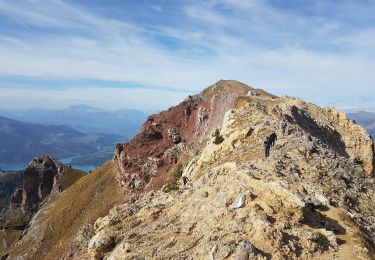
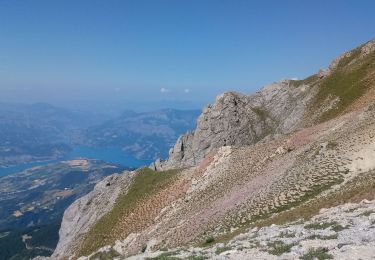
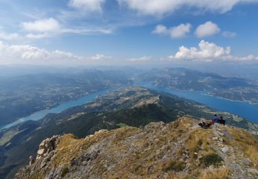
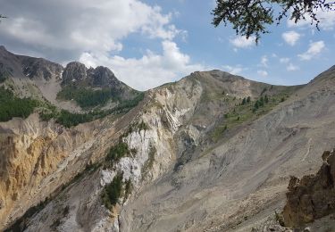
Lac du Lauzerot par les Gendres et clot Besson
damlou
Gebruiker
Lengte
8,3 km
Max. hoogte
1950 m
Positief hoogteverschil
450 m
Km-Effort
14,3 km
Min. hoogte
1572 m
Negatief hoogteverschil
454 m
Boucle
Ja
Datum van aanmaak :
2024-03-05 08:43:27.355
Laatste wijziging :
2024-03-05 14:57:42.416
2h51
Moeilijkheid : Medium
Gratisgps-wandelapplicatie
Over ons
Tocht Sneeuwschoenen van 8,3 km beschikbaar op Provence-Alpes-Côte d'Azur, Hautes-Alpes, Crots. Deze tocht wordt voorgesteld door damlou.
Beschrijving
Depart les Gendres rejoindre parcours de la Draye clot Besson descendre par chapelle du Lauzerot
Plaatsbepaling
Land:
France
Regio :
Provence-Alpes-Côte d'Azur
Departement/Provincie :
Hautes-Alpes
Gemeente :
Crots
Locatie:
Unknown
Vertrek:(Dec)
Vertrek:(UTM)
299588 ; 4929462 (32T) N.
Opmerkingen
Wandeltochten in de omgeving
Le Cirque de Morgon
Stappen
Moeilijk
(5)
Crots,
Provence-Alpes-Côte d'Azur,
Hautes-Alpes,
France
5h 30min
Ja
Morgon par le Grand Clot
Stappen
Gemakkelijk
(1)
Crots,
Provence-Alpes-Côte d'Azur,
Hautes-Alpes,
France
11,8 km | 22 km-effort
5h 49min
Ja
Grand Morgon
Stappen
Medium
Crots,
Provence-Alpes-Côte d'Azur,
Hautes-Alpes,
France
11,4 km | 22 km-effort
4h 56min
Ja
SityTrail - 2251353 - morgon-par-le-grand-clot
Stappen
Medium
Crots,
Provence-Alpes-Côte d'Azur,
Hautes-Alpes,
France
11,8 km | 22 km-effort
5h 30min
Ja
Morgon par la fontaine de l'Ours
Stappen
Medium
Crots,
Provence-Alpes-Côte d'Azur,
Hautes-Alpes,
France
17,7 km | 33 km-effort
6h 26min
Ja
Embrunais - Cirque de Morgon - 9.2km 550m 3h20 - 2018 06 25 - public
Stappen
Medium
Crots,
Provence-Alpes-Côte d'Azur,
Hautes-Alpes,
France
9,2 km | 16,4 km-effort
3h 20min
Ja
col des olettes
Stappen
Gemakkelijk
(1)
Crots,
Provence-Alpes-Côte d'Azur,
Hautes-Alpes,
France
11,8 km | 23 km-effort
4h 53min
Ja
05 - Pic Morgon
Stappen
Medium
Crots,
Provence-Alpes-Côte d'Azur,
Hautes-Alpes,
France
17,7 km | 30 km-effort
6h 0min
Neen
boucle du lac Lauzerot depuis Gendre
Stappen
Gemakkelijk
Crots,
Provence-Alpes-Côte d'Azur,
Hautes-Alpes,
France
7,8 km | 13,7 km-effort
3h 40min
Ja
Descente superbe en coupant Retour aux Gendres à plat souvent ss neige