


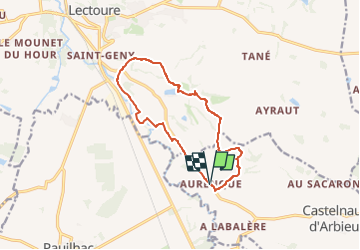

18,8 km | 24 km-effort


2 possibilités


Gratisgps-wandelapplicatie
 SityTrail
IGN / Geografische instituten
SityTrail World
De wereld gaat voor u open
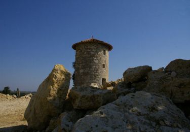
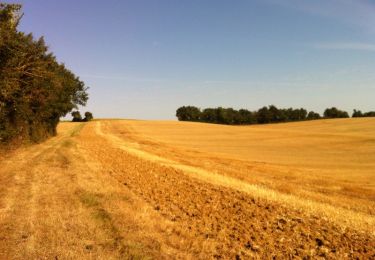
Tocht Stappen van 12,7 km beschikbaar op Occitanië, Gers, Castelnau-d'Arbieu. Deze tocht wordt voorgesteld door RandoAria .
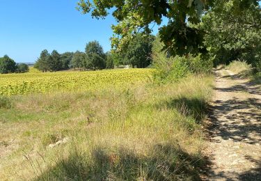
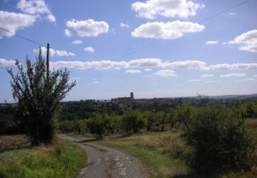
Stappen
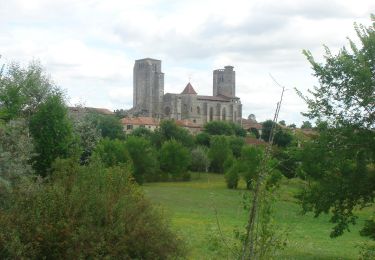
Stappen
Mountainbike
Stappen

Stappen
Mountainbike
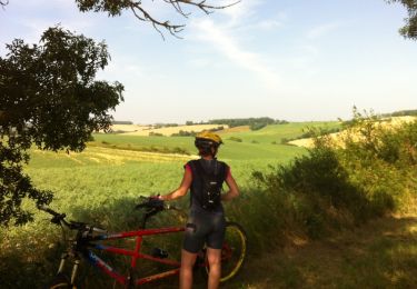
Mountainbike
Stappen
Stappen