


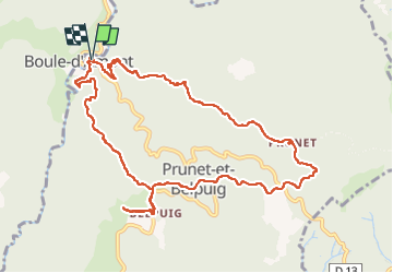

10,4 km | 14,8 km-effort


Gebruiker


Gratisgps-wandelapplicatie
 SityTrail
IGN / Geografische instituten
SityTrail World
De wereld gaat voor u open
Tocht Stappen van 12,9 km beschikbaar op Occitanië, Pyrénées-Orientales, Prunet-et-Belpuig. Deze tocht wordt voorgesteld door Santblasi.
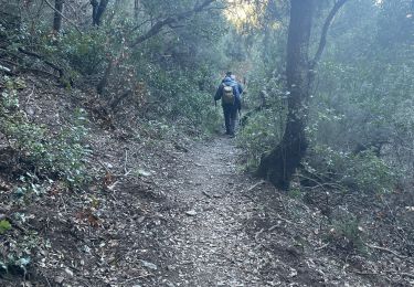
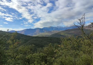
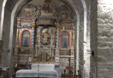
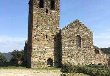
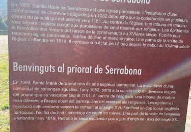
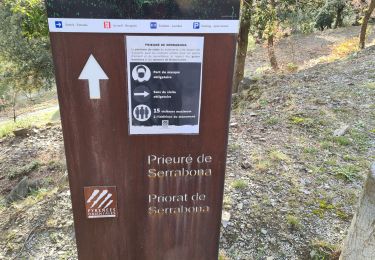
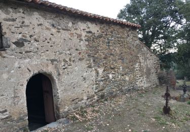
randonnée en forêt sur pistes DFCI, belles vues sur les massifs du Canigou et du Madres. Passage par plusieurs chapelles.
À La Trinité, vues à 360 degrés, mer et montagne.
Stappen
Stappen
Stappen

Stappen
Stappen
Stappen

Stappen
Stappen
Stappen