


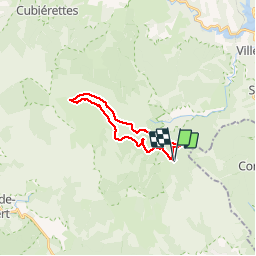

11,2 km | 14,8 km-effort


Gebruiker


Gratisgps-wandelapplicatie
 SityTrail
IGN / Geografische instituten
SityTrail World
De wereld gaat voor u open
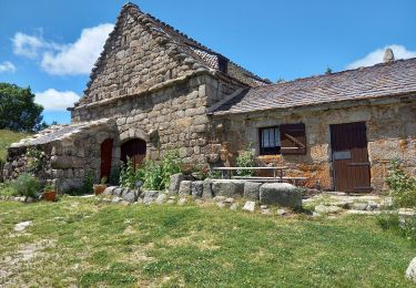
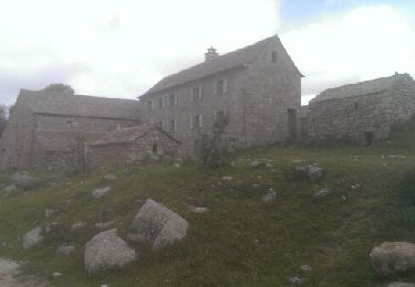
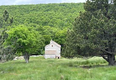
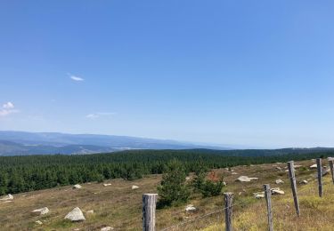
Tocht Stappen van 18,8 km beschikbaar op Occitanië, Lozère, Vialas. Deze tocht wordt voorgesteld door grageot.
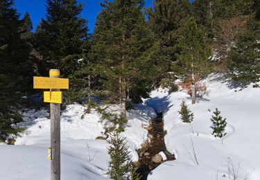
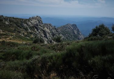
belle ballade dans les landes et forêt avec bartass dans le flanc de la montagne. La durée annoncée est due à la neige encore présente en ce 12 mars et qui ralentit la progression
Stappen
Stappen
Stappen

sport
sport

Stappen
Stappen
Stappen
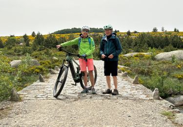
Elektrische fiets